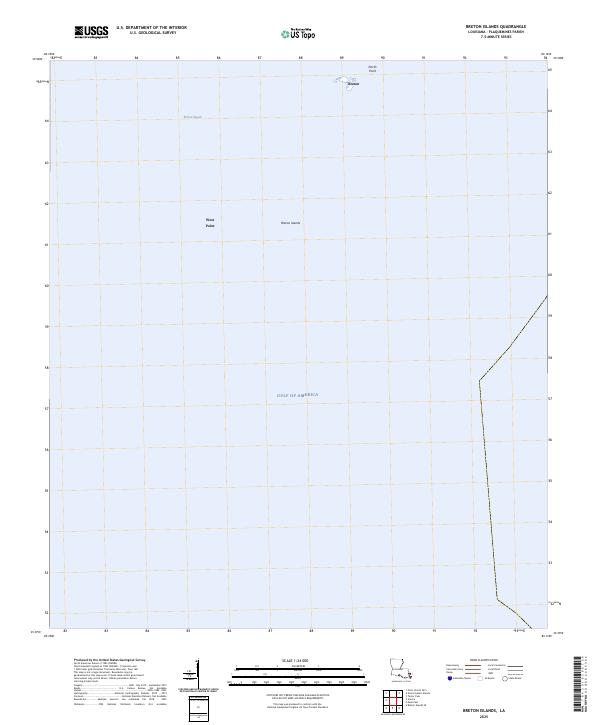
2025 Map of Breton Islands
USGS Topo · Published 2025About this map
Breton Islands stand as isolated remnants of the Mississippi River delta’s historical shifts within Plaquemines Parish. This map documents a fragile coastal landscape defined by the expansive Breton Sound to the north and the open Gulf of America to the south. The islands' low-lying profile is marked by points of reference like North Point and West Point, which serve as crucial navigational landmarks in an area dominated by marine environments. As part of a larger archipelago, these features are central to the region's ecological identity, providing a look at the modern state of Louisiana's barrier island systems and the shifting bathymetry of Breton.
Find a feature on this map
6 named features on this map. Tap any name to fly to it.
Don’t see what you’re looking for? This feature index may not catch every label — zoom into the map to look around manually.
Map Details
Editions of this 2025 Breton Islands Map
This is the sole edition of this map. No revisions or reprints were ever made.
Other maps of this area

1893 · La Fortuna
USGS Topo · 1:62,500

1893 · Forts
USGS Topo · 1:62,500

1935 · Taylor Pass
USGS Topo · 1:31,680

1947 · Venice
USGS Topo · 1:31,680

1947 · Main Pass
USGS Topo · 1:31,680

1948 · Forts
USGS Topo · 1:62,500
1950 · Breton Islands
USGS Topo · 1:24,000

1953 · Breton Island
USGS Topo · 1:62,500
1954 · Venice
USGS Topo · 1:31,680
1954 · Taylor Pass
USGS Topo · 1:31,680