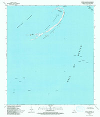
1993 Map of Breton Islands
USGS Topo · Published 1993About this map
The Breton National Wildlife Refuge anchors this coastal environment, preserving a thin crescent of land where the Breton Sound meets the open Gulf of Mexico. This 1993 edition reflects the fragile geography of Breton Islands, highlighting prominent landmarks like North Point, West Point, and a Radio Tower. The landscape is a study in the intersection of conservation and industry, as the refuge borders an extensive Oil Field dotted with numerous Oil Wells and a maritime Platform. To the northeast, the Mississippi River Gulf Outlet Canal serves as a critical shipping artery, marked by a navigational Tower. The map provides an essential record of Louisiana's changing coastline before further subsidence and storm events altered these barrier island footprints.
Find a feature on this map
14 named features on this map. Tap any name to fly to it.
Don’t see what you’re looking for? This feature index may not catch every label — zoom into the map to look around manually.
Map Details
Editions of this 1993 Breton Islands Map
This is the sole edition of this map. No revisions or reprints were ever made.
Other maps of this area

1893 · La Fortuna
USGS Topo · 1:62,500

1893 · Forts
USGS Topo · 1:62,500

1935 · Taylor Pass
USGS Topo · 1:31,680

1947 · Venice
USGS Topo · 1:31,680

1947 · Main Pass
USGS Topo · 1:31,680

1948 · Forts
USGS Topo · 1:62,500
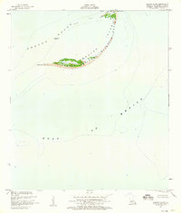
1950 · Breton Islands
USGS Topo · 1:24,000

1953 · Breton Island
USGS Topo · 1:62,500
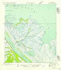
1954 · Venice
USGS Topo · 1:31,680
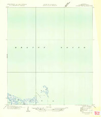
1954 · Taylor Pass
USGS Topo · 1:31,680