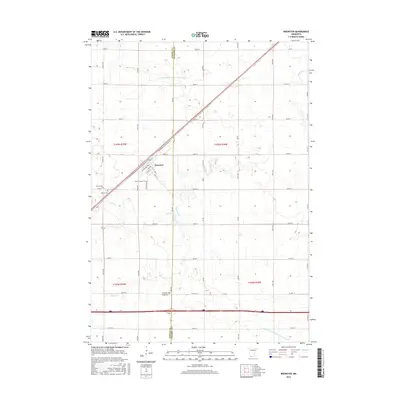
2016 Map of Brewster
USGS Topo · Published 2016About this map
The town of Brewster serves as the primary hub in this southwestern Minnesota landscape, situated atop the prominent Coteau des Prairies upland. The 2016 survey illustrates a strictly organized agricultural grid, where long avenues like Ulrich Ave and Wass Ave intersect numbered streets across the Nobles Co and Jackson Co line. Water management is a defining characteristic of the terrain, evidenced by the extensive network of Judicial Ditch Number Seventysix and Judicial Ditch Number Twentyeight which augment natural drainages like Okabena Cr and Elk Cr. For those researching local history, the map precisely identifies established landmarks including Hersey Cem, Sacred Heart Cem, and Trinity Cem, reflecting the enduring community foundations of this prairie region.
Find a feature on this map
51 named features on this map. Tap any name to fly to it.
Don’t see what you’re looking for? This feature index may not catch every label — zoom into the map to look around manually.
Map Details
Editions of this 2016 Brewster Map
This is the sole edition of this map. No revisions or reprints were ever made.
Other maps of this area

1954 · Fairmont
USGS Topo · 1:250,000

1958 · Fairmont
USGS Topo · 1:250,000

1960 · Brewster
USGS Topo · 1:24,000

1960 · Okabena
USGS Topo · 1:24,000

1960 · Worthington North
USGS Topo · 1:24,000

1960 · Worthington South
USGS Topo · 1:24,000

1960 · Round Lake
USGS Topo · 1:24,000

1960 · Sioux Valley
USGS Topo · 1:24,000

1970 · Dundee
USGS Topo · 1:24,000

1970 · Fulda
USGS Topo · 1:24,000