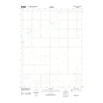
2010 Map of Brewster NE
USGS Topo · Published 2010About this map
Middle Fork Sappa Creek and South Fork Sappa Creek define the drainage patterns of this high plains region in Thomas County. The map captures a landscape structured by an orderly grid of section roads, including Co Rd Z and Co Rd 7, which facilitate movement through the agricultural territory. Near the southern confluence of these intermittent waterways lies Hughes, a small settlement point along the rural road network. The presence of Brewer Hwy on the western edge of the quadrangle highlights the local importance of this transit corridor. This survey documents the area's geography during the first decade of the 21st century, showing how modern transportation routes like Co Rd V and Co Rd T align with the historical township and range system.
Find a feature on this map
12 named features on this map. Tap any name to fly to it.
Don’t see what you’re looking for? This feature index may not catch every label — zoom into the map to look around manually.
Map Details
Editions of this 2010 Brewster NE Map
This is the sole edition of this map. No revisions or reprints were ever made.
Other maps of this area

1943 · Colby
USGS Topo · 1:62,500

1951 · Chardon
USGS Topo · 1:62,500

1951 · Dewey Ranch
USGS Topo · 1:62,500

1954 · Goodland
USGS Topo · 1:250,000

1956 · Goodland
USGS Topo · 1:250,000

1957 · Goodland
USGS Topo · 1:250,000

1966 · Brewster NW
USGS Topo · 1:24,000

1966 · Brewster
USGS Topo · 1:24,000

1966 · Brewster SE
USGS Topo · 1:24,000

1967 · Brewster NE
USGS Topo · 1:24,000