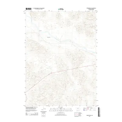
2014 Map of Brewster NW
USGS Topo · Published 2014About this map
North Loup River meanders across the northern portion of this Nebraska landscape, creating a distinct riparian corridor through the surrounding terrain. This 2014 survey focuses on a remote section of Blaine County where the river's path is marked by localized features like Hawley Flats and the crossing at Pitt Bridge. The balance of the quadrangle is defined by the repetitive, undulating topography characteristic of the region, providing a detailed look at the landforms as they existed in the early 21st century. Ne-91 serves as the primary transportation artery, cutting diagonally through the center of the sheet and connecting this quiet stretch of river country to the broader plains.
Find a feature on this map
4 named features on this map. Tap any name to fly to it.
Don’t see what you’re looking for? This feature index may not catch every label — zoom into the map to look around manually.
Map Details
Editions of this 2014 Brewster NW Map
This is the sole edition of this map. No revisions or reprints were ever made.
Other maps of this area

1949 · Koshopah
USGS Topo · 1:62,500

1951 · Dunning
USGS Topo · 1:62,500

1951 · Koshopah
USGS Topo · 1:62,500

1952 · Brewster
USGS Topo · 1:24,000

1952 · Brewster SE
USGS Topo · 1:24,000

1952 · Brewster SW
USGS Topo · 1:24,000

1952 · Brewster NW
USGS Topo · 1:24,000

1954 · North Platte
USGS Topo · 1:250,000

1955 · Broken Bow
USGS Topo · 1:250,000

1955 · O'Neill
USGS Topo · 1:250,000