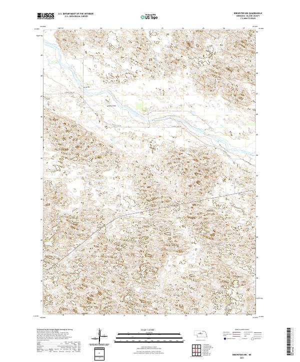
2021 Map of Brewster NW
USGS Topo · Published 2021About this map
The North Loup River meanders across this portion of the Nebraska Sandhills, carving a distinct valley through the rolling dune topography of Blaine County. Along the river's northern bank, Hawley Flats provides a rare stretch of level terrain in an otherwise undulating landscape. Connectivity across the waterway is anchored by the Pitt Bridge, a vital crossing point for local ranching and transport.
Find a feature on this map
9 named features on this map. Tap any name to fly to it.
Don’t see what you’re looking for? This feature index may not catch every label — zoom into the map to look around manually.
Map Details
Editions of this 2021 Brewster NW Map
This is the sole edition of this map. No revisions or reprints were ever made.
Other maps of this area

1949 · Koshopah
USGS Topo · 1:62,500

1951 · Dunning
USGS Topo · 1:62,500

1951 · Koshopah
USGS Topo · 1:62,500

1952 · Brewster
USGS Topo · 1:24,000

1952 · Brewster SE
USGS Topo · 1:24,000

1952 · Brewster SW
USGS Topo · 1:24,000

1952 · Brewster NW
USGS Topo · 1:24,000

1954 · North Platte
USGS Topo · 1:250,000

1955 · Broken Bow
USGS Topo · 1:250,000

1955 · O'Neill
USGS Topo · 1:250,000