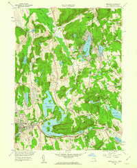
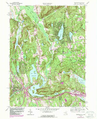
1958 Map of Brewster
USGS Topo · Published 1960About this map
The East Branch Croton River and its complex reservoir system define the landscape of the New York-Connecticut borderlands during the late 1950s. The village of Brewster serves as a central hub, where the tracks of the New York Central and Hudson River RR and the New York New Haven and Hartford RR intersect near Lake Tonetta. The map illustrates a region transitioning with the introduction of early parkway and highway infrastructure, including the alignment for Interstate 84 and U.S. Highway 6.
Find a feature on this map
81 named features on this map. Tap any name to fly to it.
Don’t see what you’re looking for? This feature index may not catch every label — zoom into the map to look around manually.
Map Details
Editions of this 1958 Brewster Map
5 editions found
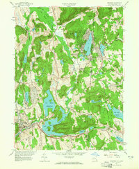
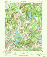
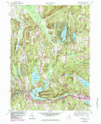
Other maps of this area

1892 · Danbury
USGS Topo · 1:62,500

1892 · New Milford
USGS Topo · 1:62,500

1892 · Carmel
USGS Topo · 1:62,500

1893 · Carmel
USGS Topo · 1:62,500

1893 · New Milford
USGS Topo · 1:62,500

1893 · Clove
USGS Topo · 1:62,500

1894 · Clove
USGS Topo · 1:62,500

1894 · Carmel
USGS Topo · 1:62,500

1898 · Clove
USGS Topo · 1:62,500

1901 · Clove
USGS Topo · 1:62,500