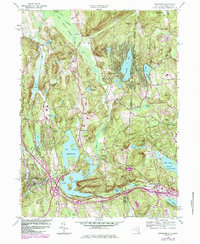
1958 Map of Brewster
USGS Topo · Published 1985About this map
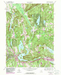
The East Branch Croton River anchors this landscape of the mid-twentieth century, winding through a complex topography of reservoirs and crossroad settlements. The village of Brewster serves as a hub, while the surrounding hills are dotted with established local landmarks like Haines Corners, Steinbeck Corners, and Deforest Corners. Large-scale water management is a defining feature of the era, seen in the expansive Bog Brook Reservoir and East Branch Reservoir, which reshape the terrain near Sodom.
Find a feature on this map
66 named features on this map. Tap any name to fly to it.
Don’t see what you’re looking for? This feature index may not catch every label — zoom into the map to look around manually.
Map Details
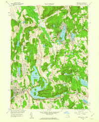
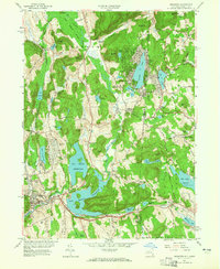
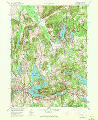
Editions of this 1958 Brewster Map
5 editions found
Other maps of this area

1892 · Danbury
USGS Topo · 1:62,500

1892 · New Milford
USGS Topo · 1:62,500

1892 · Carmel
USGS Topo · 1:62,500

1893 · Carmel
USGS Topo · 1:62,500

1893 · New Milford
USGS Topo · 1:62,500

1893 · Clove
USGS Topo · 1:62,500

1894 · Clove
USGS Topo · 1:62,500

1894 · Carmel
USGS Topo · 1:62,500

1898 · Clove
USGS Topo · 1:62,500

1901 · Clove
USGS Topo · 1:62,500