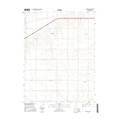
2015 Map of Brewster SE
USGS Topo · Published 2015About this map
S Fork Sappa Cr and Prairie Dog Cr carve through this high plains landscape in Thomas County, revealing the critical drainage systems that have long dictated movement across western Kansas. The map captures a high-resolution view of the local road grid, where secondary routes like Co RD P and Co RD 5 intersect the larger township and range boundaries of t8s r36w and t9s r36w. The northwestern corner of the sheet reaches into the edge of a settlement, showing the interface between the structured street grid of Main St and 6th St and the surrounding agricultural sections. Farther south, the headwaters and branches of the N Fork Solomon River and the S Fork Solomon River appear, illustrating the subtle topography of the Great Plains divide where multiple major river systems originate within just a few miles of one another.
Find a feature on this map
23 named features on this map. Tap any name to fly to it.
Don’t see what you’re looking for? This feature index may not catch every label — zoom into the map to look around manually.
Map Details
Editions of this 2015 Brewster SE Map
This is the sole edition of this map. No revisions or reprints were ever made.
Other maps of this area

1943 · Colby
USGS Topo · 1:62,500

1954 · Goodland
USGS Topo · 1:250,000

1956 · Goodland
USGS Topo · 1:250,000

1957 · Goodland
USGS Topo · 1:250,000

1966 · Brewster NW
USGS Topo · 1:24,000

1966 · Brewster
USGS Topo · 1:24,000

1966 · Brewster SE
USGS Topo · 1:24,000

1967 · Brewster NE
USGS Topo · 1:24,000

1967 · Levant
USGS Topo · 1:24,000

1967 · Colby SW
USGS Topo · 1:24,000