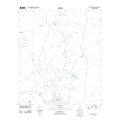
2011 Map of Brewton North
USGS Topo · Published 2011About this map
Brewton and its northern surroundings are defined by a complex network of waterways, where Murder Creek and Burnt Corn Creek carve through the Escambia County landscape. The mapping illustrates a region where water management is central to the land, evidenced by numerous named impoundments such as Lake McMillan, Moran Lake One, and Robinsons Lake. These features, often associated with family names like the E J Moran Number One Dam or the H R Sherrer Dam, suggest a long history of local land ownership and small-scale engineering.
Find a feature on this map
80 named features on this map. Tap any name to fly to it.
Don’t see what you’re looking for? This feature index may not catch every label — zoom into the map to look around manually.
Map Details
Editions of this 2011 Brewton North Map
This is the sole edition of this map. No revisions or reprints were ever made.
Other maps of this area

1953 · Andalusia
USGS Topo · 1:250,000

1957 · Andalusia
USGS Topo · 1:250,000

1959 · Brewton South
USGS Topo · 1:24,000

1960 · Brewton South
USGS Topo · 1:24,000

1960 · Pollard
USGS Topo · 1:24,000

1960 · Brewton North
USGS Topo · 1:24,000

1960 · Wallace
USGS Topo · 1:24,000

1971 · Range
USGS Topo · 1:24,000

1971 · Castleberry
USGS Topo · 1:24,000

1982 · Shipps Creek
USGS Topo · 1:24,000