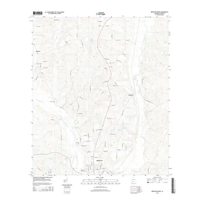
2014 Map of Brewton North
USGS Topo · Published 2014About this map
Murder Creek and its many winding tributaries define the landscape north of Brewton during this 2014 survey of Escambia County. The map shows a transition from the urban grid of the county seat, where streets like Escambia Ave and McMillan Ave provide structure, into a rural hinterland characterized by timbered drainages and family-named landmarks. The confluence of Juniper Creek and Burnt Corn Creek near Tippins Eddy highlights the importance of these waterways to the local topography.
Find a feature on this map
90 named features on this map. Tap any name to fly to it.
Don’t see what you’re looking for? This feature index may not catch every label — zoom into the map to look around manually.
Map Details
Editions of this 2014 Brewton North Map
This is the sole edition of this map. No revisions or reprints were ever made.
Other maps of this area

1953 · Andalusia
USGS Topo · 1:250,000

1957 · Andalusia
USGS Topo · 1:250,000

1959 · Brewton South
USGS Topo · 1:24,000

1960 · Brewton South
USGS Topo · 1:24,000

1960 · Pollard
USGS Topo · 1:24,000

1960 · Brewton North
USGS Topo · 1:24,000

1960 · Wallace
USGS Topo · 1:24,000

1971 · Range
USGS Topo · 1:24,000

1971 · Castleberry
USGS Topo · 1:24,000

1982 · Shipps Creek
USGS Topo · 1:24,000