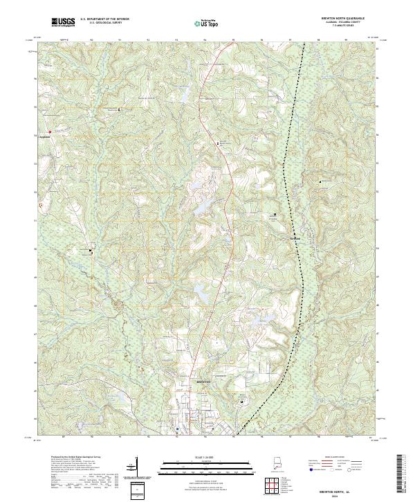
2024 Map of Brewton North
USGS Topo · Published 2024About this map
Brewton and the surrounding Escambia County landscape are defined by a dense network of watercourses and rural family burial grounds. The northern edge of the city gives way to a terrain carved by Murder Creek, Juniper Creek, and Burnt Corn Creek, with numerous small lakes such as Moran Lake One and Lake McMillan dotting the lowlands. This area is particularly significant for genealogical research, as it preserves the locations of several distinct family and church-affiliated burial sites, including the Benjamin W Jernigan Cem and the Calvary Mennonite Church Cem. The settlement pattern follows established routes like Appleton Rd and Co Rd 3, connecting the outlying communities of Appleton and Kirkland to the municipal center of Brewton.
Find a feature on this map
97 named features on this map. Tap any name to fly to it.
Don’t see what you’re looking for? This feature index may not catch every label — zoom into the map to look around manually.
Map Details
Editions of this 2024 Brewton North Map
This is the sole edition of this map. No revisions or reprints were ever made.
Other maps of this area

1953 · Andalusia
USGS Topo · 1:250,000

1957 · Andalusia
USGS Topo · 1:250,000

1959 · Brewton South
USGS Topo · 1:24,000

1960 · Brewton South
USGS Topo · 1:24,000

1960 · Pollard
USGS Topo · 1:24,000

1960 · Brewton North
USGS Topo · 1:24,000

1960 · Wallace
USGS Topo · 1:24,000

1971 · Range
USGS Topo · 1:24,000

1971 · Castleberry
USGS Topo · 1:24,000

1982 · Shipps Creek
USGS Topo · 1:24,000