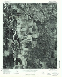
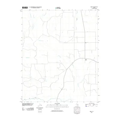
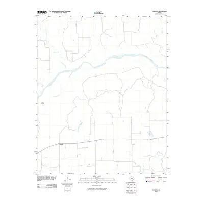
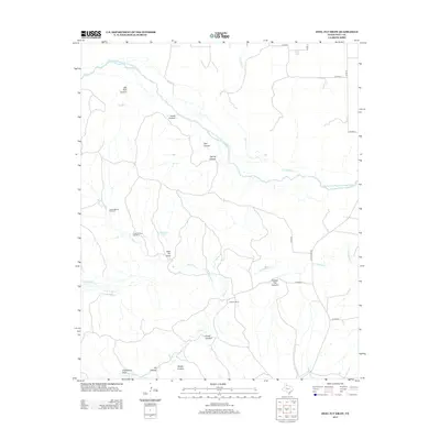
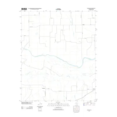
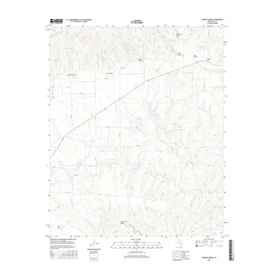
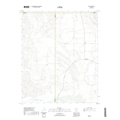
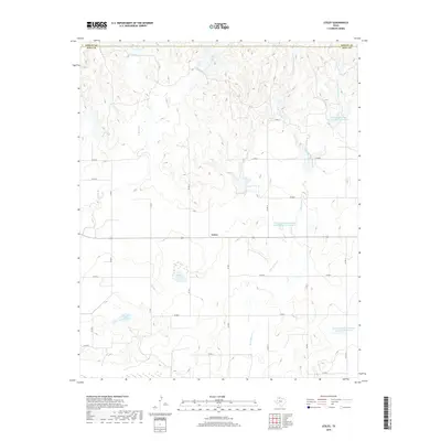
1985 Map of Brice
USGS Topo · Published 1985About this map
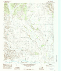
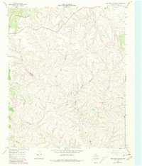
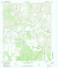
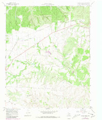
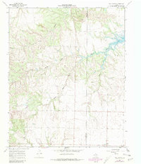
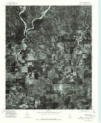
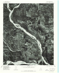
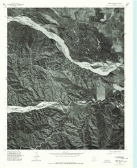
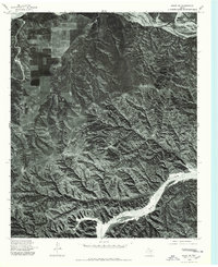
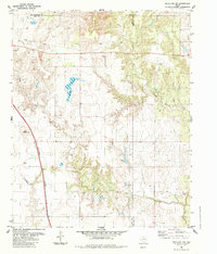
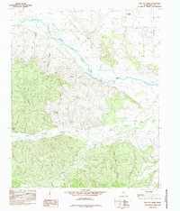
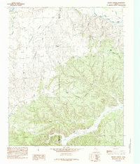
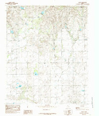
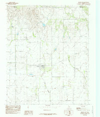
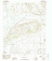
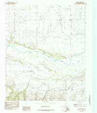
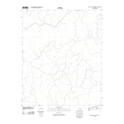
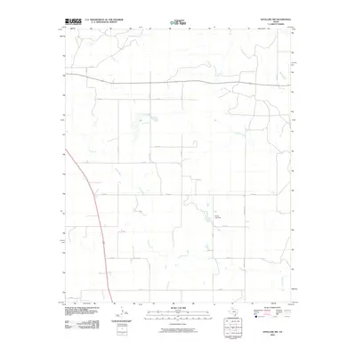
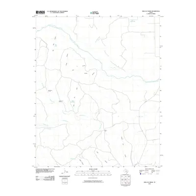
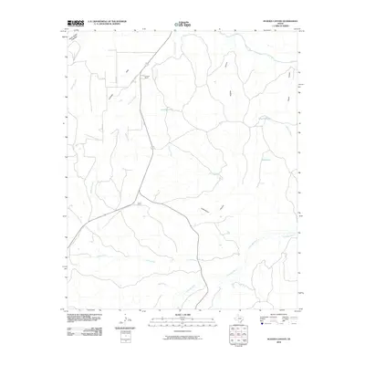
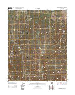
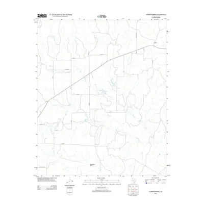
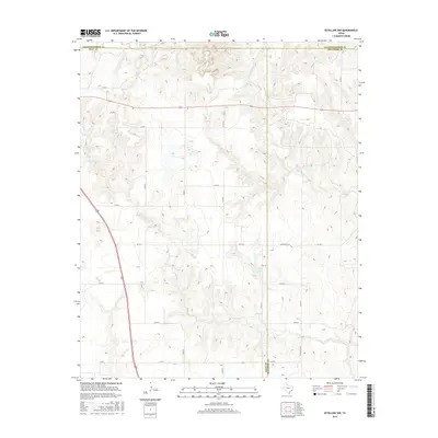
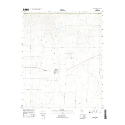
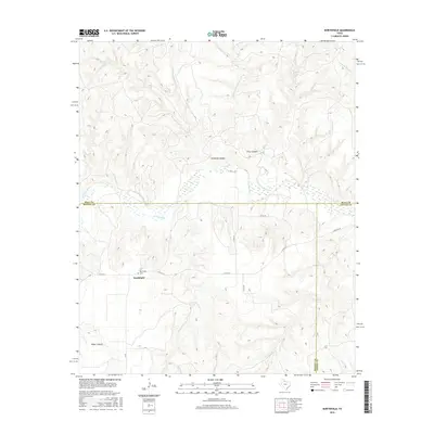
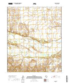
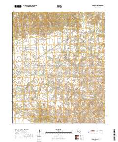
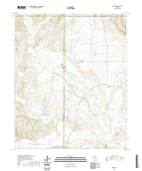
Palo Duro Canyon and the Prairie Dog Town Fork of the Red River dominate the southern landscape of this 1980s Texas Panhandle survey. The area is defined by a dense network of seasonal drainage and creek beds, including Mulberry Creek, Battle Creek, and Bottle Creek, which cut through the terrain toward the river basin. The small settlements of Brice and South Brice appear in the eastern portion of the map, served by a network of ranch roads and surrounded by numerous wells that suggest the region's reliance on groundwater for agriculture and livestock. In the west, isolated water features such as Sink Lake and Timber Lake provide distinct landmarks in a landscape otherwise marked by the deep erosional patterns of Sands Creek and Betty Creek. This map captures the rural character of the borderlands between Donley, Briscoe, and Hall counties just before the close of the 20th century.
Find a feature on this map
17 named features on this map. Tap any name to fly to it.
Don’t see what you’re looking for? This feature index may not catch every label — zoom into the map to look around manually.
Map Details
Editions of this 1985 Brice Map
This is the sole edition of this map. No revisions or reprints were ever made.
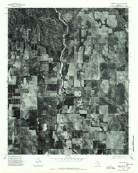
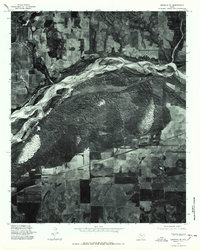
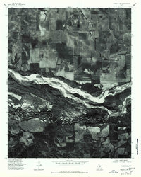
Historical Maps of Brice Through Time
90 maps found

1939 Ysleta
Hall County, TX

1941 Ysleta
Hall County, TX
1945 Ysleta
Hall County, TX
1960 Brice
Hall County, TX
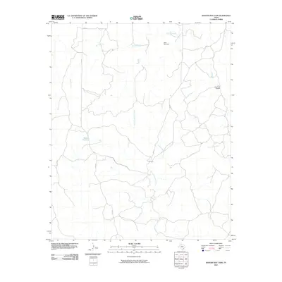
1967 Badger Nest Tank
Hall County, TX
1967 Blue Tank Canyon
Hall County, TX
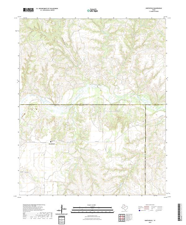
1967 Northfield
Hall County, TX
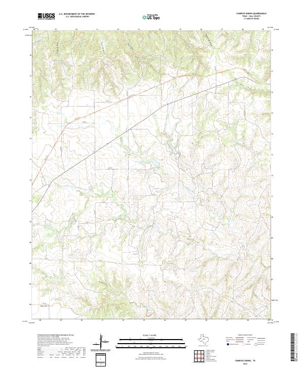
1967 Tampico Siding
Hall County, TX
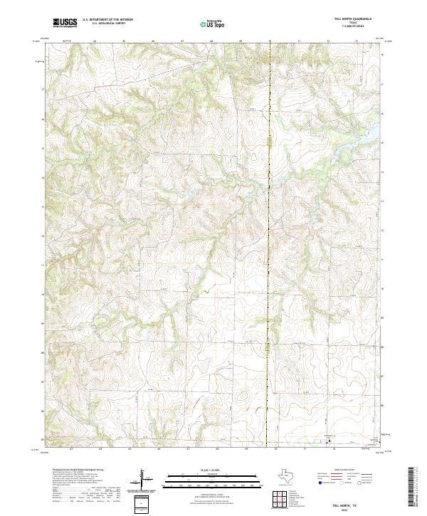
1967 Tell North
Hall County, TX
1976 Brice NE
Hall County, TX
1976 Brice NW
Hall County, TX
1976 Brice SE
Hall County, TX
1976 Brice SW
Hall County, TX
1976 Memphis NE
Hall County, TX
1976 Memphis NW
Hall County, TX
1976 Memphis SE
Hall County, TX
1976 Memphis SW
Hall County, TX
1984 Estelline NW
Hall County, TX
1985 Brice
Hall County, TX
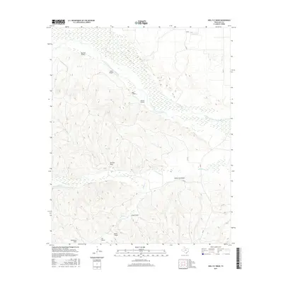
1985 Heel Fly Draw
Hall County, TX
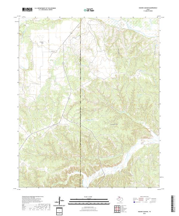
1985 Hughes Canyon
Hall County, TX
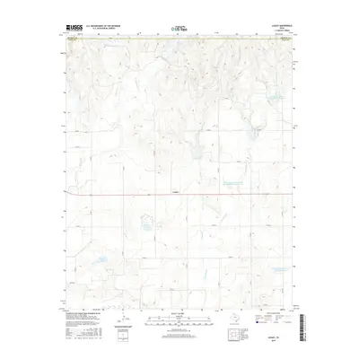
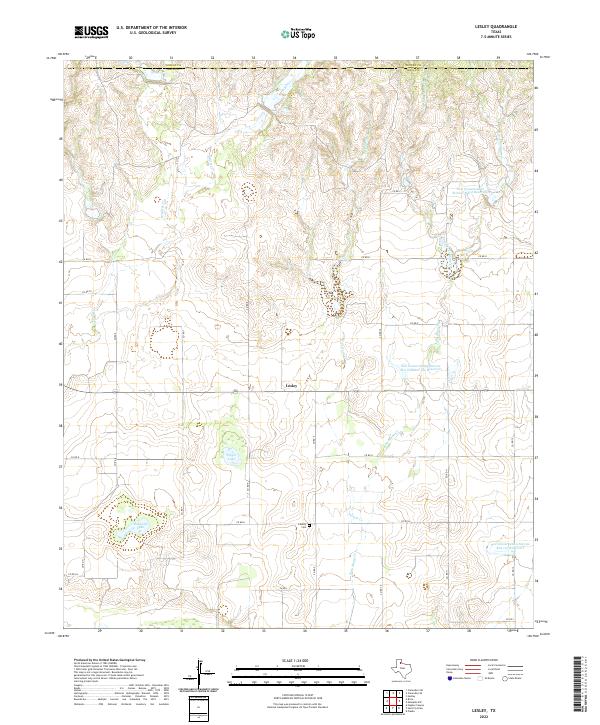
1985 Lesley
Hall County, TX
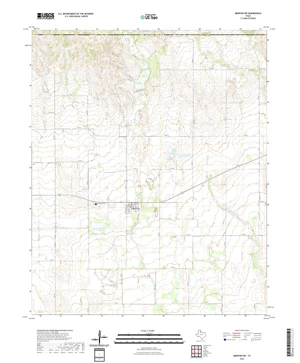
1985 Memphis NW
Hall County, TX
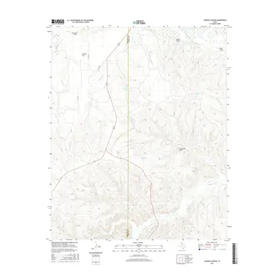
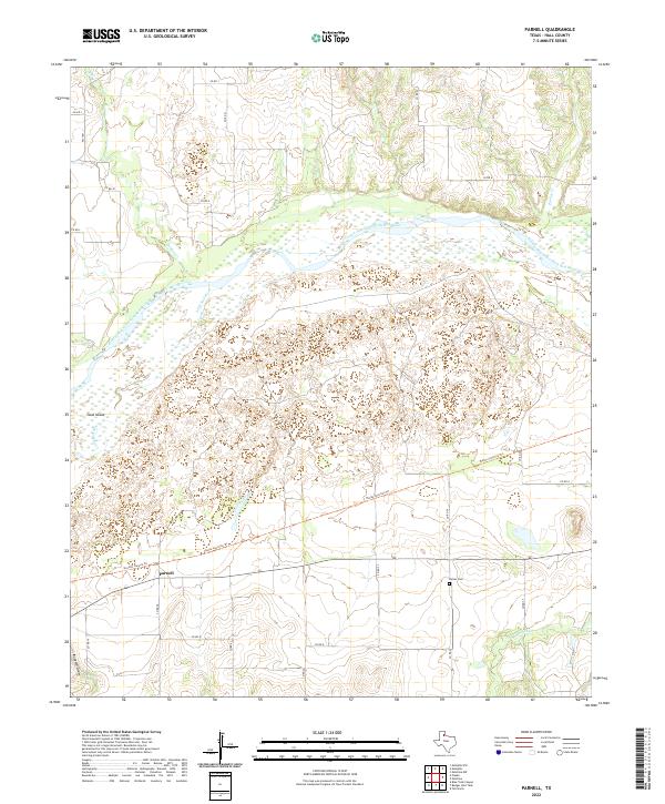
1985 Parnell
Hall County, TX
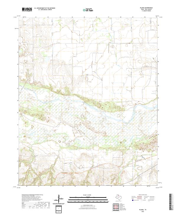
1985 Plaska
Hall County, TX
2010 Badger Nest Tank
Hall County, TX
2010 Blue Tank Canyon
Hall County, TX
2010 Brice
Hall County, TX
2010 Estelline NW
Hall County, TX
2010 Heel Fly Draw
Hall County, TX
2010 Hughes Canyon
Hall County, TX
2010 Lesley
Hall County, TX
2010 Memphis NW
Hall County, TX
2010 Northfield
Hall County, TX
2010 Parnell
Hall County, TX
2010 Plaska
Hall County, TX
2010 Tampico Siding
Hall County, TX
2010 Tell North
Hall County, TX
2012 Badger Nest Tank
Hall County, TX
2012 Blue Tank Canyon
Hall County, TX
2012 Brice
Hall County, TX
2012 Estelline NW
Hall County, TX
2012 Heel Fly Draw
Hall County, TX
2012 Hughes Canyon
Hall County, TX
2012 Memphis NW
Hall County, TX
2012 Northfield
Hall County, TX
2012 Tampico Siding
Hall County, TX
2012 Tell North
Hall County, TX
2013 Lesley
Hall County, TX
2013 Parnell
Hall County, TX
2013 Plaska
Hall County, TX
2016 Badger Nest Tank
Hall County, TX
2016 Blue Tank Canyon
Hall County, TX
2016 Brice
Hall County, TX
2016 Estelline NW
Hall County, TX
2016 Heel Fly Draw
Hall County, TX
2016 Hughes Canyon
Hall County, TX
2016 Lesley
Hall County, TX
2016 Memphis NW
Hall County, TX
2016 Northfield
Hall County, TX
2016 Parnell
Hall County, TX
2016 Plaska
Hall County, TX
2016 Tampico Siding
Hall County, TX
2016 Tell North
Hall County, TX
2019 Badger Nest Tank
Hall County, TX
2019 Blue Tank Canyon
Hall County, TX
2019 Brice
Hall County, TX
2019 Estelline NW
Hall County, TX
2019 Heel Fly Draw
Hall County, TX
2019 Hughes Canyon
Hall County, TX
2019 Lesley
Hall County, TX
2019 Memphis NW
Hall County, TX
2019 Northfield
Hall County, TX
2019 Parnell
Hall County, TX
2019 Plaska
Hall County, TX
2019 Tampico Siding
Hall County, TX
2019 Tell North
Hall County, TX
2022 Badger Nest Tank
Hall County, TX
2022 Blue Tank Canyon
Hall County, TX
2022 Brice
Hall County, TX
2022 Estelline NW
Hall County, TX
2022 Heel Fly Draw
Hall County, TX
2022 Hughes Canyon
Hall County, TX
2022 Lesley
Hall County, TX
2022 Memphis NW
Hall County, TX
2022 Northfield
Hall County, TX
2022 Parnell
Hall County, TX
2022 Plaska
Hall County, TX
2022 Tampico Siding
Hall County, TX
2022 Tell North
Hall County, TX