
1948 Map of Bridal Veil Falls
USGS Topo · Published 1960About this map
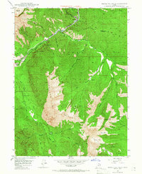
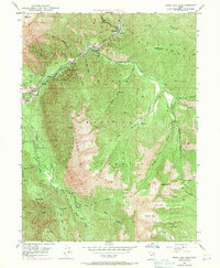
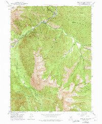
Provo River carves a deep canyon through the Wasatch Range on this 1948 topographic survey, creating the dramatic landscape that defines this region of Utah. The Denver & Rio Grande Western RR follows the river's path, serving several small settlements and recreational points including Vivian Park, Wildwood, and Springdell. The geography is dominated by the massive Cascade Mountain, which rises sharply above the canyon floor. Notable landmarks such as Bridal Veil Falls and Upper Falls mark the steep descent of side streams into the main river valley. This era reveals a balance between early 20th-century transportation and the growing tourism industry, highlighted by the Alpine Scenic Highway and early recreation sites like Hope Picnic Area. Further south, the map details the complex drainage of Rock Canyon and its many forks below the peak of Y Mountain, illustrating the intricate terrain managed within the Uinta National Forest.
Find a feature on this map
43 named features on this map. Tap any name to fly to it.
Don’t see what you’re looking for? This feature index may not catch every label — zoom into the map to look around manually.
Map Details
Editions of this 1948 Bridal Veil Falls Map
4 editions found
Other maps of this area

1885 · Salt Lake
USGS Topo · 1:250,000

1907 · Strawberry Valley
USGS Topo · 1:125,000

1909 · Strawberry Valley
USGS Topo · 1:125,000

1948 · Timpanogos Cave
USGS Topo · 1:24,000

1948 · Orem
USGS Topo · 1:24,000

1948 · Orem
USGS Topo · 1:62,500

1948 · Springville
USGS Topo · 1:24,000

1948 · Aspen Grove
USGS Topo · 1:24,000

1948 · Provo
USGS Topo · 1:24,000

1949 · Provo
USGS Topo · 1:62,500