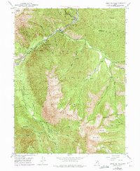
1948 Map of Bridal Veil Falls
USGS Topo · Published 1974About this map
Provo Canyon serves as a vital corridor through the Wasatch Range, where the Provo River and the Denver and Rio Grande Western railroad parallel one another through the mountain gap. This mid-century survey highlights a concentration of small settlements and recreation points along the canyon floor, including Wildwood, Vivian Park, and Springdell. The 1969 photorevisions document the presence of the Aerial Tramway near the iconic Bridal Veil Falls, a landmark that has long defined the local landscape.
Find a feature on this map
59 named features on this map. Tap any name to fly to it.
Don’t see what you’re looking for? This feature index may not catch every label — zoom into the map to look around manually.
Map Details
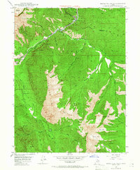
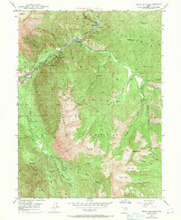
Editions of this 1948 Bridal Veil Falls Map
4 editions found
Other maps of this area

1885 · Salt Lake
USGS Topo · 1:250,000

1907 · Strawberry Valley
USGS Topo · 1:125,000

1909 · Strawberry Valley
USGS Topo · 1:125,000

1948 · Timpanogos Cave
USGS Topo · 1:24,000

1948 · Orem
USGS Topo · 1:24,000

1948 · Orem
USGS Topo · 1:62,500

1948 · Springville
USGS Topo · 1:24,000

1948 · Aspen Grove
USGS Topo · 1:24,000

1948 · Provo
USGS Topo · 1:24,000

1948 · Bridal Veil Falls
USGS Topo · 1:24,000