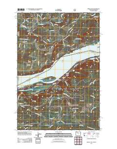
2011 Map of Bridal Veil
USGS Topo · Published 2011About this map
Bridal Veil and the small hamlet of Latourell anchor the southern bank of the Columbia River in this survey of the river's gorge. The landscape is defined by dramatic elevation changes where numerous tributaries descend toward the river, creating a concentration of landmarks including Bridal Veil Falls, Latourell Falls, Upper Latourell Falls, and Mist Falls. Transportation infrastructure follows the river's path, notably the E Crown Point Hwy, which provides access to the Bridal Veil Post Office and Rooster Rock Park.
Find a feature on this map
96 named features on this map. Tap any name to fly to it.
Don’t see what you’re looking for? This feature index may not catch every label — zoom into the map to look around manually.
Map Details
Editions of this 2011 Bridal Veil Map
This is the sole edition of this map. No revisions or reprints were ever made.
Other maps of this area

1911 · Boring
USGS Topo · 1:48,000

1914 · Boring
USGS Topo · 1:62,500

1916 · Estacada
USGS Topo · 1:125,000

1918 · Troutdale
USGS Topo · 1:62,500

1934 · Troutdale
USGS Topo · 1:48,000

1940 · Boring
USGS Topo · 1:62,500

1941 · Camas
USGS Topo · 1:62,500

1942 · Camas
USGS Topo · 1:62,500

1948 · Vancouver
USGS Topo · 1:250,000

1950 · Vancouver
USGS Topo · 1:250,000