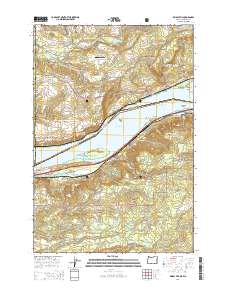
2014 Map of Bridal Veil
USGS Topo · Published 2014About this map
The Columbia River dominates this transition between the Gorge and the Portland basin, where the Washington Oregon border follows the main channel through Broughton Reach. On the Oregon side, the landscape is defined by the steep slopes of the Mount Hood National Forest, featuring the historic settlement of Bridal Veil and the community of Latourell. These areas are famous for their vertical relief, with Bridal Veil Falls, Latourell Falls, and Wahkeena Falls marking where tributary creeks plunge toward the river. Notable landmarks like Crown Point and Angels Rest provide vantage points over Sand Island and the Pillars of Hercules. North across the river in Washington, the terrain of the Gifford Pinchot National Forest rises toward Biddle Butte, with the rural tracts of Mount Pleasant and the riverside community of Prindle clustered near the Evergreen Hwy.
Find a feature on this map
116 named features on this map. Tap any name to fly to it.
Don’t see what you’re looking for? This feature index may not catch every label — zoom into the map to look around manually.
Map Details
Editions of this 2014 Bridal Veil Map
This is the sole edition of this map. No revisions or reprints were ever made.
Other maps of this area

1911 · Boring
USGS Topo · 1:48,000

1914 · Boring
USGS Topo · 1:62,500

1916 · Estacada
USGS Topo · 1:125,000

1918 · Troutdale
USGS Topo · 1:62,500

1934 · Troutdale
USGS Topo · 1:48,000

1940 · Boring
USGS Topo · 1:62,500

1941 · Camas
USGS Topo · 1:62,500

1942 · Camas
USGS Topo · 1:62,500

1948 · Vancouver
USGS Topo · 1:250,000

1950 · Vancouver
USGS Topo · 1:250,000