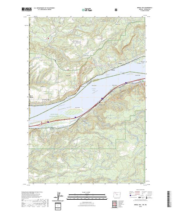
2024 Map of Bridal Veil
USGS Topo · Published 2024About this map
The Columbia River carves a deep path through the Columbia Gorge in this detailed 2024 survey, capturing the dramatic meeting of the Washington and Oregon borders. Along the northern bank, the BNSF Railway tracks trace the shoreline through Prindle and Cruzatt, while the southern bank features the concentrated waterfalls and historic corridor of the Mount Hood National Forest. Local history is anchored by the namesake community of Bridal Veil and the settlement of Latourell, with the Mount Pleasant Cem and Belle Center Cem providing key points of reference for genealogists. The landscape is defined by iconic vertical landmarks such as Angels Rest, Phoca Rock, and the precipitous Crown Point, illustrating the extreme topographic relief that has long shaped transit and habitation in this river passage.
Find a feature on this map
88 named features on this map. Tap any name to fly to it.
Don’t see what you’re looking for? This feature index may not catch every label — zoom into the map to look around manually.
Map Details
Editions of this 2024 Bridal Veil Map
This is the sole edition of this map. No revisions or reprints were ever made.
Other maps of this area

1911 · Boring
USGS Topo · 1:48,000

1914 · Boring
USGS Topo · 1:62,500

1916 · Estacada
USGS Topo · 1:125,000

1918 · Troutdale
USGS Topo · 1:62,500

1934 · Troutdale
USGS Topo · 1:48,000

1940 · Boring
USGS Topo · 1:62,500

1941 · Camas
USGS Topo · 1:62,500

1942 · Camas
USGS Topo · 1:62,500

1948 · Vancouver
USGS Topo · 1:250,000

1950 · Vancouver
USGS Topo · 1:250,000