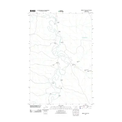
2011 Map of Bridge Coulee
USGS Topo · Published 2011About this map
Ross Hall sits as a quiet landmark within this Garfield County landscape, where the meandering Musselshell River defines the local geography. The river valley is flanked by numerous drainage features, including Sandage Coulee, Bridge Coulee, and Raundal Coulee, illustrating the intricate erosion patterns of the Missouri River basin. The presence of Gilfeather Cemetery near the confluence of Blood Creek and the main river offers a poignant touchstone for genealogists and local historians tracing the settlement of this rural Montana territory.
Find a feature on this map
25 named features on this map. Tap any name to fly to it.
Don’t see what you’re looking for? This feature index may not catch every label — zoom into the map to look around manually.
Map Details
Editions of this 2011 Bridge Coulee Map
This is the sole edition of this map. No revisions or reprints were ever made.
Other maps of this area

1954 · Jordan
USGS Topo · 1:250,000

1954 · Lewistown
USGS Topo · 1:250,000

1956 · Jordan
USGS Topo · 1:250,000

1958 · Jordan
USGS Topo · 1:250,000

1959 · Lewistown
USGS Topo · 1:250,000

1964 · Jordan
USGS Topo · 1:250,000
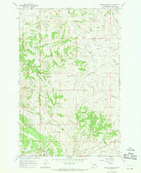
1967 · Barney Pinnacle
USGS Topo · 1:24,000

1967 · Nelson Coulee
USGS Topo · 1:24,000
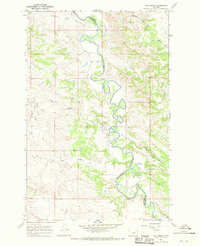
1967 · Fail Ranch
USGS Topo · 1:24,000
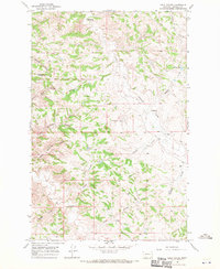
1967 · Lelig Coulee
USGS Topo · 1:24,000