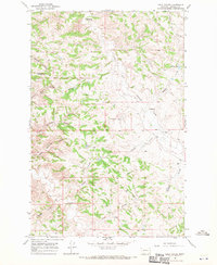
1967 Map of Lelig Coulee
USGS Topo · Published 1970About this map
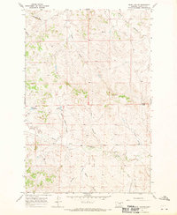
Thomas Ranch and the O'Connor Ranch anchor this mid-century survey of Garfield County, Montana, illustrating the remote ranching infrastructure of the region. The landscape is a network of complex drainage systems, characterized by the South Fork Lodgepole Creek and its many tributaries, including Stocker Coulee and Kimmel Coulee. These ephemeral waterways and deep coulees dictate the placement of ranch buildings and livestock water sources, such as the Ezekial Reservoir and the Split Reservoir.
Find a feature on this map
22 named features on this map. Tap any name to fly to it.
Don’t see what you’re looking for? This feature index may not catch every label — zoom into the map to look around manually.
Map Details
Editions of this 1967 Lelig Coulee Map
This is the sole edition of this map. No revisions or reprints were ever made.
Other maps of this area

1954 · Jordan
USGS Topo · 1:250,000

1956 · Jordan
USGS Topo · 1:250,000

1958 · Jordan
USGS Topo · 1:250,000

1964 · Jordan
USGS Topo · 1:250,000
1967 · Barney Pinnacle
USGS Topo · 1:24,000
1967 · Froehlich Butte
USGS Topo · 1:24,000

1967 · Nelson Coulee
USGS Topo · 1:24,000
1967 · Fail Ranch
USGS Topo · 1:24,000
1967 · Searl Coulee
USGS Topo · 1:24,000
1967 · Benzien
USGS Topo · 1:24,000