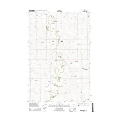
2014 Map of Bridge Coulee
USGS Topo · Published 2014About this map
The Musselshell River carves a winding path across this landscape on the border of Petroleum and Garfield Counties, creating a complex network of drainage basins. This 2014 survey documents a sparsely populated ranching region where family and local names define the topography, from Duff Hill to the various branches of Bridge Coulee. Evidence of early settlement and land use persists in features like the Gilfeather Cem and the small community at Ross Hall.
Find a feature on this map
33 named features on this map. Tap any name to fly to it.
Don’t see what you’re looking for? This feature index may not catch every label — zoom into the map to look around manually.
Map Details
Editions of this 2014 Bridge Coulee Map
This is the sole edition of this map. No revisions or reprints were ever made.
Other maps of this area

1954 · Jordan
USGS Topo · 1:250,000

1954 · Lewistown
USGS Topo · 1:250,000

1956 · Jordan
USGS Topo · 1:250,000

1958 · Jordan
USGS Topo · 1:250,000

1959 · Lewistown
USGS Topo · 1:250,000

1964 · Jordan
USGS Topo · 1:250,000
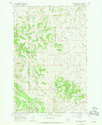
1967 · Barney Pinnacle
USGS Topo · 1:24,000

1967 · Nelson Coulee
USGS Topo · 1:24,000
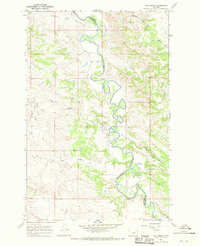
1967 · Fail Ranch
USGS Topo · 1:24,000
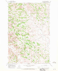
1967 · Lelig Coulee
USGS Topo · 1:24,000