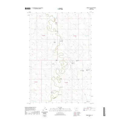
2020 Map of Bridge Coulee
USGS Topo · Published 2020About this map
The Musselshell River winds through this central Montana landscape, marking the boundary between Petroleum and Garfield Counties. This high-plains terrain is defined by an intricate network of drainage channels, locally known as coulees, which have carved deep patterns into the earth. The small settlement of Ross Hall serves as a central landmark in an area otherwise characterized by vast stretches of open land and grazing territory.
Find a feature on this map
28 named features on this map. Tap any name to fly to it.
Don’t see what you’re looking for? This feature index may not catch every label — zoom into the map to look around manually.
Map Details
Editions of this 2020 Bridge Coulee Map
This is the sole edition of this map. No revisions or reprints were ever made.
Other maps of this area

1954 · Jordan
USGS Topo · 1:250,000

1954 · Lewistown
USGS Topo · 1:250,000

1956 · Jordan
USGS Topo · 1:250,000

1958 · Jordan
USGS Topo · 1:250,000

1959 · Lewistown
USGS Topo · 1:250,000

1964 · Jordan
USGS Topo · 1:250,000
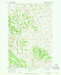
1967 · Barney Pinnacle
USGS Topo · 1:24,000

1967 · Nelson Coulee
USGS Topo · 1:24,000
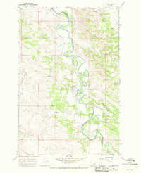
1967 · Fail Ranch
USGS Topo · 1:24,000
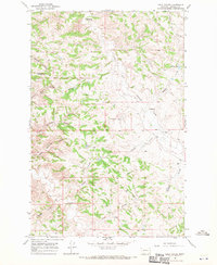
1967 · Lelig Coulee
USGS Topo · 1:24,000