
1893 Map of Bridgeport
USGS Topo · Published 1893About this map
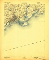
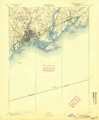
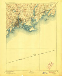
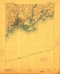
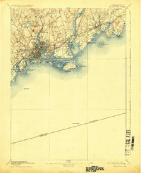
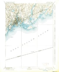
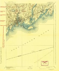
The industrial and maritime heart of southern Connecticut is captured here during a period of rapid late-century expansion. The dense urban grid of Bridgeport is already established, flanked by East Bridgeport and West Stratford, while smaller outlying settlements like Nichols Farms and Trumbull retain their rural character. The region’s reliance on water power and transportation is evident in the numerous reservoirs and mill ponds, including Island Brook Reservoir and Berkshire Mill Pond, which supported the city’s manufacturing rise.
Find a feature on this map
50 named features on this map. Tap any name to fly to it.
Don’t see what you’re looking for? This feature index may not catch every label — zoom into the map to look around manually.
Map Details
Editions of this 1893 Bridgeport Map
8 editions found
Other maps of this area

1889 · Derby
USGS Topo · 1:62,500

1891 · Bridgeport
USGS Topo · 1:62,500

1891 · Derby
USGS Topo · 1:62,500

1892 · New Haven
USGS Topo · 1:62,500

1892 · Danbury
USGS Topo · 1:62,500

1892 · Norwalk
USGS Topo · 1:62,500

1893 · Norwalk
USGS Topo · 1:62,500

1893 · Derby
USGS Topo · 1:62,500

1901 · Northport
USGS Topo · 1:62,500

1902 · Setauket
USGS Topo · 1:62,500