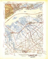
1944 Map of Bridgeport
USGS Topo · Published 1944About this map
Industrial activity and river commerce define this stretch of the Delaware River just before the mid-century. On the Pennsylvania shore, the Locomotive Works and Pennsylvania Military College anchor a densely developed corridor of rail lines including the Baltimore and Ohio Railroad. Across the water, the New Jersey landscape transitions from the marshy environs of Monds Island and Little Tinicum Island to the inland agricultural and milling sites of Logan and Greenwich townships.
Find a feature on this map
64 named features on this map. Tap any name to fly to it.
Don’t see what you’re looking for? This feature index may not catch every label — zoom into the map to look around manually.
Map Details
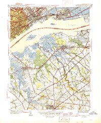
Editions of this 1944 Bridgeport Map
2 editions found
Other maps of this area

1890 · Salem
USGS Topo · 1:62,500

1890 · Glassboro
USGS Topo · 1:62,500

1891 · Philadelphia
USGS Topo · 1:62,500

1894 · Chester
USGS Topo · 1:62,500

1894 · Philadelphia
USGS Topo · 1:62,500

1896 · Philadelphia
USGS Topo · 1:62,500

1896 · Chester
USGS Topo · 1:62,500

1898 · Salem
USGS Topo · 1:62,500

1898 · Glassboro
USGS Topo · 1:62,500

1898 · Chester
USGS Topo · 1:62,500