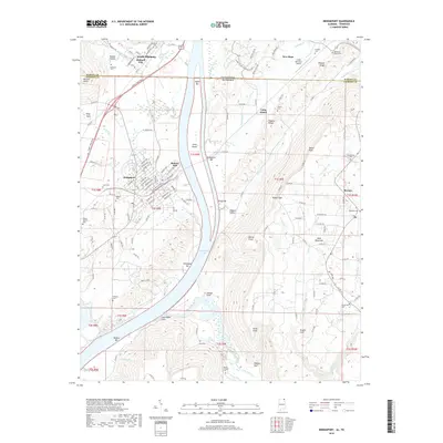
2018 Map of Bridgeport
USGS Topo · Published 2018About this map
Guntersville Lake dominates the central landscape where the Tennessee River flows through the borderlands of Alabama and Tennessee. Along the western banks, the industrial and residential grid of South Pittsburg and Richard City sits beneath the heights of Patton Hollow, while Bridgeport occupies a strategic bend further south. The river itself is defined by numerous bars and islands, including Upper Bar, Long Island, and Widows Bar.
Find a feature on this map
160 named features on this map. Tap any name to fly to it.
Don’t see what you’re looking for? This feature index may not catch every label — zoom into the map to look around manually.
Map Details
Editions of this 2018 Bridgeport Map
This is the sole edition of this map. No revisions or reprints were ever made.
Other maps of this area

1886 · Stevenson
USGS Topo · 1:125,000

1892 · Stevenson
USGS Topo · 1:125,000

1895 · Stevenson
USGS Topo · 1:125,000

1895 · Sewanee
USGS Topo · 1:125,000

1936 · Trenton
USGS Topo · 1:24,000

1936 · Shellmound
USGS Topo · 1:24,000

1936 · Orme
USGS Topo · 1:24,000

1936 · Bridgeport
USGS Topo · 1:24,000

1936 · Flat Rock
USGS Topo · 1:24,000

1936 · Stevenson
USGS Topo · 1:24,000