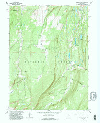
1967 Map of Bridger Lake
USGS Topo · Published 1995About this map
The Wyoming-Utah state line and the Uinta-Summit county line intersect in this high-altitude landscape of the Wasatch National Forest. Centered on the upper reaches of the Smiths Fork river system, the terrain transitions from timbered meadowlands like China Meadows and Mansfield Meadows into the high peaks of the High Uintas Wilderness. Remote Forest Service infrastructure is visible at the Bridger Lake F.S. Station and Hewinta F.S. Sta. A network of pack trails and 4WD tracks connects established recreation sites, including Marsh Lake Campground and the Bridger Lake Campground. Of particular interest to local historians is the small Cem located near Suicide Park Fork, a lone site of human interment in this otherwise wilderness-dominated region during the mid-1960s.
Find a feature on this map
36 named features on this map. Tap any name to fly to it.
Don’t see what you’re looking for? This feature index may not catch every label — zoom into the map to look around manually.
Map Details
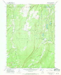
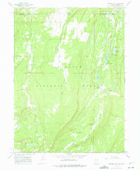
Editions of this 1967 Bridger Lake Map
3 editions found
Other maps of this area

1885 · Uinta
USGS Topo · 1:250,000

1901 · Hayden Peak
USGS Topo · 1:125,000

1903 · Hayden Peak
USGS Topo · 1:125,000

1905 · Gilbert Peak
USGS Topo · 1:125,000

1906 · Gilbert Peak
USGS Topo · 1:125,000

1954 · Salt Lake City
USGS Topo · 1:250,000

1954 · Ogden
USGS Topo · 1:250,000

1958 · Ogden
USGS Topo · 1:250,000

1958 · Salt Lake City
USGS Topo · 1:250,000

1960 · Ogden
USGS Topo · 1:250,000