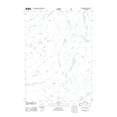
2012 Map of Bridger Lakes
USGS Topo · Published 2012About this map
Photographers Point offers a legendary vantage over a high-altitude wilderness defined by dense clusters of alpine water bodies and soaring granite summits. This 2012 survey of Sublette County reveals a complex drainage network where Fremont Cr and Bridger Cr connect numerous basins, including Mistake Lake and the Titcomb Lakes in the northeast. The terrain is structured around significant peaks like Elbow Peak and Guiterrez Peak, which dictate the paths of historic high-country routes through Gunsight Pass and Threlkeld Pass. In the southern reaches, the landscape softens slightly into the meadows of Miller Park and the multiple basins of the Sweeney Lakes. This map documents the precise hydrology of the Wind River Range before modern climatic shifts further altered these glacial remains.
Find a feature on this map
47 named features on this map. Tap any name to fly to it.
Don’t see what you’re looking for? This feature index may not catch every label — zoom into the map to look around manually.
Map Details
Editions of this 2012 Bridger Lakes Map
This is the sole edition of this map. No revisions or reprints were ever made.
Other maps of this area

1909 · Fremont Peak
USGS Topo · 1:125,000

1955 · Thermopolis
USGS Topo · 1:250,000

1955 · Lander
USGS Topo · 1:250,000

1958 · Lander
USGS Topo · 1:250,000

1958 · Thermopolis
USGS Topo · 1:250,000

1961 · Lander
USGS Topo · 1:250,000

1962 · Thermopolis
USGS Topo · 1:250,000

1964 · Fremont Lake South
USGS Topo · 1:24,000
1968 · Fayette Lake
USGS Topo · 1:24,000

1968 · Fremont Peak North
USGS Topo · 1:24,000