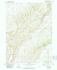
1983 Map of Bridger Pass
USGS Topo · Published 1988About this map
The Continental Divide cuts through this high desert and mountain landscape, marking a vital hydrological and historical boundary. This 1983 survey records the crossing of the Overland Trail as it traverses the Sierra Madre foothills. Near the southern edge, the Bridger Stage Station (Site) serves as a silent marker of 19th-century western transit along the Bridger Pass Road.
Find a feature on this map
25 named features on this map. Tap any name to fly to it.
Don’t see what you’re looking for? This feature index may not catch every label — zoom into the map to look around manually.
Map Details
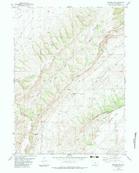
Editions of this 1983 Bridger Pass Map
2 editions found
Other maps of this area

1932 · Savery
USGS Topo · 1:96,000

1940 · Savery
USGS Topo · 1:125,000

1954 · Rawlins
USGS Topo · 1:250,000

1956 · Bridger Pass
USGS Topo · 1:62,500

1957 · Doty Mountain
USGS Topo · 1:62,500

1958 · Rawlins
USGS Topo · 1:250,000

1961 · Pine Grove Ranch
USGS Topo · 1:24,000

1961 · Pole Gulch
USGS Topo · 1:24,000

1962 · Rawlins
USGS Topo · 1:250,000

1966 · Riner
USGS Topo · 1:24,000