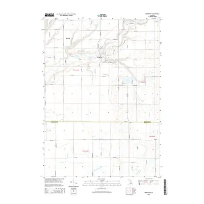
2014 Map of Bridgeton
USGS Topo · Published 2014About this map
The Muskegon River meanders across this landscape, defining the northern geography where the settlement of Bridgeton sits atop its banks. This 2014 survey captures the township's transition from the river-bottom woodlands to the flat agricultural plains that extend south into the borderlands of Newaygo and Muskegon counties. Genealogy interests are centered at the Bridgeton Cem, located just south of the main settlement near W 118th St.
Find a feature on this map
82 named features on this map. Tap any name to fly to it.
Don’t see what you’re looking for? This feature index may not catch every label — zoom into the map to look around manually.
Map Details
Editions of this 2014 Bridgeton Map
This is the sole edition of this map. No revisions or reprints were ever made.
Other maps of this area

1930 · Muskegon
USGS Topo · 1:62,500

1936 · Muskegon
USGS Topo · 1:62,500

1945 · Ravenna
USGS Topo · 1:62,500

1954 · Milwaukee
USGS Topo · 1:250,000

1954 · Midland
USGS Topo · 1:250,000

1958 · Midland
USGS Topo · 1:250,000

1958 · Milwaukee
USGS Topo · 1:250,000

1958 · Twin Lake
USGS Topo · 1:62,500

1958 · Fremont
USGS Topo · 1:62,500

1959 · Midland
USGS Topo · 1:250,000