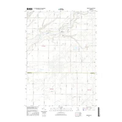
2017 Map of Bridgeton
USGS Topo · Published 2017About this map
The Muskegon River meanders through the heart of this landscape, carving a valley defined by prominent elevations such as W Bridgeton Bluff and S Trillium Ridge. At this bend in the river sits the community of Bridgeton, a focal point for local history along the northern bank. The surrounding terrain is heavily shaped by water, featuring numerous tributaries like Minnie Cr, Sand Cr, and the appropriately named Mosquito Cr.
Find a feature on this map
84 named features on this map. Tap any name to fly to it.
Don’t see what you’re looking for? This feature index may not catch every label — zoom into the map to look around manually.
Map Details
Editions of this 2017 Bridgeton Map
This is the sole edition of this map. No revisions or reprints were ever made.
Other maps of this area

1930 · Muskegon
USGS Topo · 1:62,500

1936 · Muskegon
USGS Topo · 1:62,500

1945 · Ravenna
USGS Topo · 1:62,500

1954 · Milwaukee
USGS Topo · 1:250,000

1954 · Midland
USGS Topo · 1:250,000

1958 · Midland
USGS Topo · 1:250,000

1958 · Milwaukee
USGS Topo · 1:250,000

1958 · Twin Lake
USGS Topo · 1:62,500

1958 · Fremont
USGS Topo · 1:62,500

1959 · Midland
USGS Topo · 1:250,000