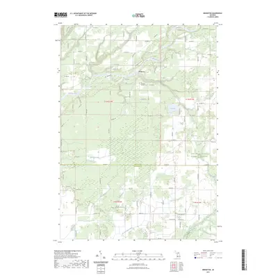
2023 Map of Bridgeton
USGS Topo · Published 2023About this map
The Muskegon River meanders through the heart of this West Michigan landscape, carving a wide valley flanked by the prominent W-Bridgeton Bluff and Trillium Ridge. The settlement of Bridgeton sits north of the river, serving as a focal point for the surrounding rural township. Further south, the terrain transitions into a complex drainage network characterized by Mosquito Creek and the Crockery Creek headwaters, interspersed with small bodies of water like Sand Lake and Blood Lake.
Find a feature on this map
93 named features on this map. Tap any name to fly to it.
Don’t see what you’re looking for? This feature index may not catch every label — zoom into the map to look around manually.
Map Details
Editions of this 2023 Bridgeton Map
This is the sole edition of this map. No revisions or reprints were ever made.
Other maps of this area

1930 · Muskegon
USGS Topo · 1:62,500

1936 · Muskegon
USGS Topo · 1:62,500

1945 · Ravenna
USGS Topo · 1:62,500

1954 · Milwaukee
USGS Topo · 1:250,000

1954 · Midland
USGS Topo · 1:250,000

1958 · Midland
USGS Topo · 1:250,000

1958 · Milwaukee
USGS Topo · 1:250,000

1958 · Twin Lake
USGS Topo · 1:62,500

1958 · Fremont
USGS Topo · 1:62,500

1959 · Midland
USGS Topo · 1:250,000