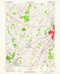
1964 Map of Bridgewater
USGS Topo · Published 1966About this map
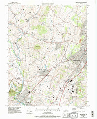
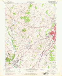
The North River valley defines the character of this mid-1960s landscape, where the academic grounds of Bridgewater College and Eastern Mennonite College anchor the regional communities. Between the industrial activity of Harrisonburg and the agrarian corridors of Dayton and Bridgewater, the Chesapeake Western railroad traces a path through the valley floor. Cultural and spiritual landmarks are densely distributed, including the St Jacobs Spaders Ch and the historic Oldtown Cem. The topographic prominence of Mole Hill and Onyx Hill rise above the winding paths of Muddy Creek and Cooks Creek, while localized features like the Silver Lake pumping station and various limestone quarries reflect the area's practical infrastructure. This period shows a transition where traditional crossroads like Rushville and Stempleytown remain distinct even as the larger municipalities expand.
Find a feature on this map
68 named features on this map. Tap any name to fly to it.
Don’t see what you’re looking for? This feature index may not catch every label — zoom into the map to look around manually.
Map Details
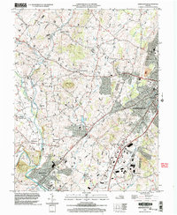
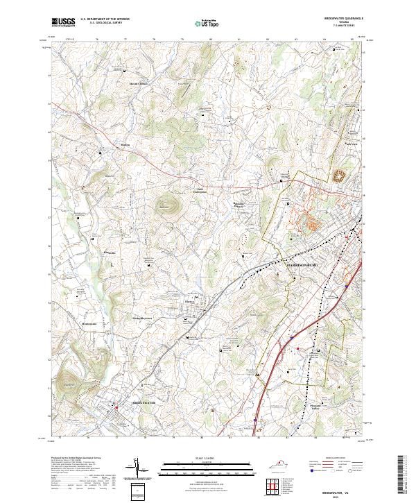
Editions of this 1964 Bridgewater Map
5 editions found
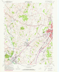
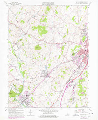
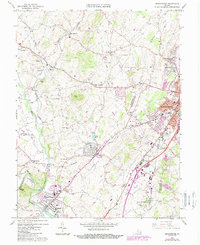
Historical Maps of Bridgewater Retirement Community Through Time
4 maps found