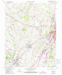
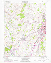
1964 Map of Bridgewater
USGS Topo · Published 1987About this map
The Chesapeake Western railroad serves as a central spine through this Rockingham County landscape, connecting the academic centers of Bridgewater College and Madison College with the agricultural and residential communities of Dayton and Bridgewater. This mid-century survey, with later revisions, shows the suburban expansion of Harrisonburg reaching toward Park View and the campus of Eastern Mennonite College. The terrain is punctuated by distinctive geological features like Mole Hill and Onyx Hill, while the local social fabric is evidenced by numerous country churches such as Mt Horeb Ch and Bank Ch. Along the Dry River and Cooks Creek, the map details a mix of traditional industry and modern infrastructure, from the Pumping Station at Silver Lake to the Radio Towers (WSVA) and the development near Interchange 63.
Find a feature on this map
65 named features on this map. Tap any name to fly to it.
Don’t see what you’re looking for? This feature index may not catch every label — zoom into the map to look around manually.
Map Details
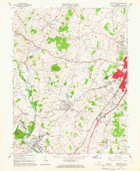
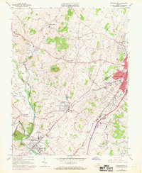
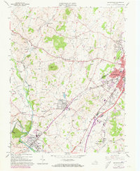
Editions of this 1964 Bridgewater Map
5 editions found
Other maps of this area

1892 · Franklin
USGS Topo · 1:125,000

1892 · Woodstock
USGS Topo · 1:125,000

1892 · Harrisonburg
USGS Topo · 1:125,000

1894 · Staunton
USGS Topo · 1:125,000

1896 · Franklin
USGS Topo · 1:125,000

1922 · Fort Seybert
USGS Topo · 1:48,000

1924 · Fort Seybert
USGS Topo · 1:62,500

1941 · Harrisonburg
USGS Topo · 1:62,500

1943 · Harrisonburg
USGS Topo · 1:62,500

1944 · Parnassus
USGS Topo · 1:62,500