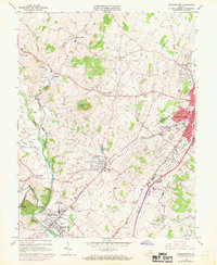
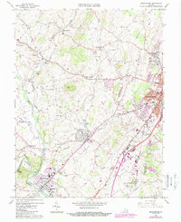
1964 Map of Bridgewater
USGS Topo · Published 1969About this map
The town of Bridgewater and the western outskirts of Harrisonburg anchor this mid-1960s survey of the Shenandoah Valley. The landscape is defined by its educational and religious institutions, featuring Bridgewater College, Madison College, and Eastern Mennonite College. The agricultural character of Rockingham County is evident in the numerous rural communities like Mount Clinton, Hinton, and Dale Enterprise, many of which are centered around local congregations such as Cooks Creek Ch and Bank Ch. The Chesapeake Western railroad serves as a primary transit corridor through the valley, passing through Dayton and Stempleytown. Geologically, the area is punctuated by distinctive rises like Mole Hill and Onyx Hill, while Silver Lake and Dry River provide key water resources for the surrounding settlements and the local Pumping Station.
Find a feature on this map
60 named features on this map. Tap any name to fly to it.
Don’t see what you’re looking for? This feature index may not catch every label — zoom into the map to look around manually.
Map Details
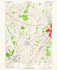
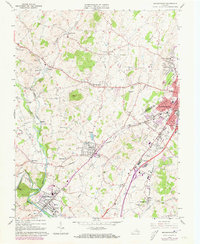
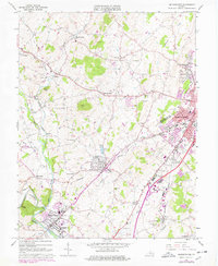
Editions of this 1964 Bridgewater Map
5 editions found
Other maps of this area

1892 · Franklin
USGS Topo · 1:125,000

1892 · Woodstock
USGS Topo · 1:125,000

1892 · Harrisonburg
USGS Topo · 1:125,000

1894 · Staunton
USGS Topo · 1:125,000

1896 · Franklin
USGS Topo · 1:125,000

1922 · Fort Seybert
USGS Topo · 1:48,000

1924 · Fort Seybert
USGS Topo · 1:62,500

1941 · Harrisonburg
USGS Topo · 1:62,500

1943 · Harrisonburg
USGS Topo · 1:62,500

1944 · Parnassus
USGS Topo · 1:62,500