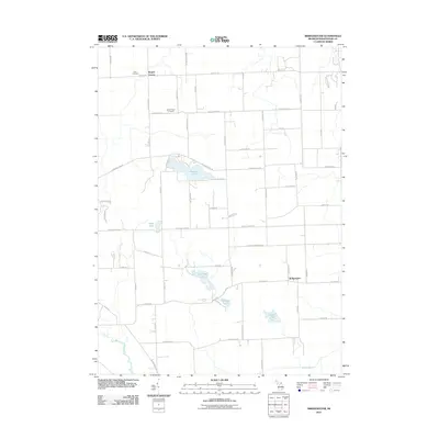
2011 Map of Bridgewater
USGS Topo · Published 2011About this map
Bridgewater and the rural agricultural lands of Washtenaw County define this portrait of southern Michigan. The landscape is dotted with small kettle lakes and glacial features, notably Pleasant Lake and Columbia Lake, which are central to the local geography. The area maintains a strong connection to its early settlement history through sites like Rogers Corner and well-preserved burial grounds including Zion Cemetery and Mount Hope Cemetery.
Find a feature on this map
55 named features on this map. Tap any name to fly to it.
Don’t see what you’re looking for? This feature index may not catch every label — zoom into the map to look around manually.
Map Details
Editions of this 2011 Bridgewater Map
This is the sole edition of this map. No revisions or reprints were ever made.
Other maps of this area

1902 · Dexter
USGS Topo · 1:62,500

1904 · Ann Arbor
USGS Topo · 1:125,000

1906 · Dexter
USGS Topo · 1:62,500

1906 · Saline
USGS Topo · 1:62,500

1908 · Ann Arbor
USGS Topo · 1:125,000

1919 · Stockbridge
USGS Topo · 1:62,500

1922 · Stockbridge
USGS Topo · 1:62,500

1942 · Stockbridge
USGS Topo · 1:62,500

1948 · Manchester
USGS Topo · 1:62,500

1949 · Manchester
USGS Topo · 1:62,500
Featured Places
- Lodi Township, MI
- Saline Township, MI
- Bridgewater, Bridgewater Township
- Bridgewater Township, MI
- Freedom Township, MI