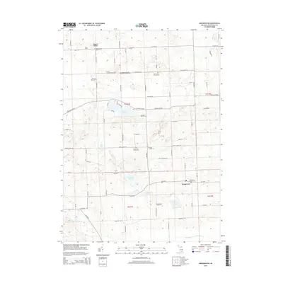
2014 Map of Bridgewater
USGS Topo · Published 2014About this map
Bridgewater and Rogers Corner anchor this agricultural landscape in Washtenaw County, where the headwaters of the Saline River and the River Raisin intersect a densely recorded history of early Michigan settlement. The map is particularly notable for its extensive documentation of local heritage sites, including numerous country cemeteries such as Rogers Corners Addition Cem and Saint Thomas' Lutheran Cem. These sites, along with Freedom Emanuel Evangelical Memorial Cem, reflect the diverse denominational roots of the community. Natural landmarks like Pleasant Lake and Silver Lake are surrounded by a grid of rural roads, such as Bethel Church Rd and S Fletcher Rd, that have defined local property lines for generations. The distribution of these features across the townships illustrates a stable, land-based economy still oriented around these traditional rural centers.
Find a feature on this map
73 named features on this map. Tap any name to fly to it.
Don’t see what you’re looking for? This feature index may not catch every label — zoom into the map to look around manually.
Map Details
Editions of this 2014 Bridgewater Map
This is the sole edition of this map. No revisions or reprints were ever made.
Other maps of this area

1902 · Dexter
USGS Topo · 1:62,500

1904 · Ann Arbor
USGS Topo · 1:125,000

1906 · Dexter
USGS Topo · 1:62,500

1906 · Saline
USGS Topo · 1:62,500

1908 · Ann Arbor
USGS Topo · 1:125,000

1919 · Stockbridge
USGS Topo · 1:62,500

1922 · Stockbridge
USGS Topo · 1:62,500

1942 · Stockbridge
USGS Topo · 1:62,500

1948 · Manchester
USGS Topo · 1:62,500

1949 · Manchester
USGS Topo · 1:62,500
Featured Places
- Lodi Township, MI
- Saline Township, MI
- Bridgewater, Bridgewater Township
- Bridgewater Township, MI
- Freedom Township, MI