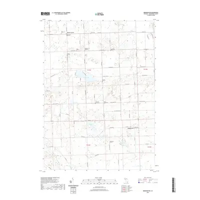
2019 Map of Bridgewater
USGS Topo · Published 2019About this map
Bridgewater and Rogers Corner anchor this portion of Washtenaw County, where the agricultural landscape is heavily dotted with rural cemeteries and small inland lakes. The concentration of burial sites, including Saint Francis Catholic Cem, Zion Lutheran Cem, and the Freedom Emanuel Evangelical Memorial Cem, points to the diverse denominational roots of the early German and European settlers who cleared these townships.
Find a feature on this map
76 named features on this map. Tap any name to fly to it.
Don’t see what you’re looking for? This feature index may not catch every label — zoom into the map to look around manually.
Map Details
Editions of this 2019 Bridgewater Map
This is the sole edition of this map. No revisions or reprints were ever made.
Other maps of this area

1902 · Dexter
USGS Topo · 1:62,500

1904 · Ann Arbor
USGS Topo · 1:125,000

1906 · Dexter
USGS Topo · 1:62,500

1906 · Saline
USGS Topo · 1:62,500

1908 · Ann Arbor
USGS Topo · 1:125,000

1919 · Stockbridge
USGS Topo · 1:62,500

1922 · Stockbridge
USGS Topo · 1:62,500

1942 · Stockbridge
USGS Topo · 1:62,500

1948 · Manchester
USGS Topo · 1:62,500

1949 · Manchester
USGS Topo · 1:62,500
Featured Places
- Lodi Township, MI
- Saline Township, MI
- Bridgewater, Bridgewater Township
- Bridgewater Township, MI
- Freedom Township, MI