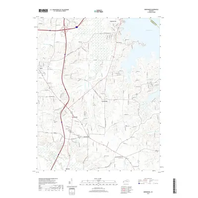
2019 Map of Briensburg
USGS Topo · Published 2019About this map
Calvert City and the northern reaches of Benton anchor this documentation of the Marshall County landscape, where the waters of Kentucky Lake meet a complex network of creeks and lowlands. The terrain is defined by its drainages, including the expansive Cypress Swamp and the winding course of Cypress Cr, which flows toward the Tennessee River valley. This area preserves a dense record of local heritage through its numerous burial grounds, such as Old Union Cem and the Marshall County Memory Garden.
Find a feature on this map
152 named features on this map. Tap any name to fly to it.
Don’t see what you’re looking for? This feature index may not catch every label — zoom into the map to look around manually.
Map Details
Editions of this 2019 Briensburg Map
This is the sole edition of this map. No revisions or reprints were ever made.
Other maps of this area

1928 · Eddyville
USGS Topo · 1:48,000

1929 · Smithland
USGS Topo · 1:62,500

1931 · Eddyville
USGS Topo · 1:62,500

1936 · Oak Level
USGS Topo · 1:24,000

1936 · Elva
USGS Topo · 1:24,000

1936 · Eddyville
USGS Topo · 1:48,000

1936 · Grand Rivers
USGS Topo · 1:24,000

1936 · Hardin
USGS Topo · 1:24,000

1936 · Smithland
USGS Topo · 1:48,000

1936 · Hiatt
USGS Topo · 1:24,000