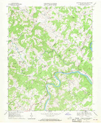
1967 Map of Brierpatch Mountain
USGS Topo · Published 1970About this map
Brierpatch Mountain dominates this mid-century topographic survey of Grayson County, where the New River carves a deep horseshoe bend near the settlement of Riverside. This map captures a landscape of scattered rural communities and mountain gaps before modernization altered the local character. Significant landmarks of the era include the Drive-in Theater near Providence, alongside older industrial and commercial nodes like Clito Mill and Hacklers Store.
Find a feature on this map
55 named features on this map. Tap any name to fly to it.
Don’t see what you’re looking for? This feature index may not catch every label — zoom into the map to look around manually.
Map Details
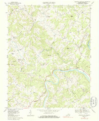
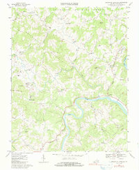
Editions of this 1967 Brierpatch Mountain Map
Other maps of this area

1889 · Hillsville
USGS Topo · 1:125,000

1889 · Wytheville
USGS Topo · 1:125,000

1892 · Hillsville
USGS Topo · 1:125,000

1892 · Wytheville
USGS Topo · 1:125,000

1896 · Hillsville
USGS Topo · 1:125,000

1930 · Speedwell
USGS Topo · 1:62,500

1930 · Independence
USGS Topo · 1:48,000

1930 · Max Meadows
USGS Topo · 1:62,500

1931 · Galax
USGS Topo · 1:48,000

1933 · Independence
USGS Topo · 1:62,500