2023 Map of Brigantine Inlet
USGS Topo · Published 2023About this map
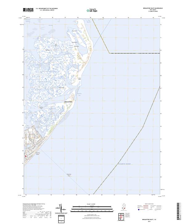
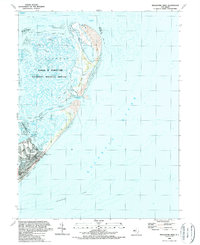
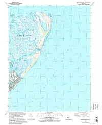
Brigantine and the developed area of Brigantine Beach occupy the lower portion of this coastal sheet, showing the grid of streets and neighborhoods like Baremore Quarters just inland from the Atlantic Ocean. The landscape is defined by an intricate network of tidal waterways and marshlands, including the Intracoastal Waterway and complex passages such as Salt Island Mile Thorofare, Cabbage Thorofare, and Mud Thorofare. North of the main settlement, the land breaks into a series of islands and points, including Island Beach, Little Beach, and Pullen Island, which are separated by the significant opening of Brigantine Inlet. This detailed survey of the Atlantic County shoreline captures the modern state of these barrier islands and the protected waters of Little Bay, Steelman Bay, and Great Bay, illustrating how development meets the shifting sands and inlets of the Jersey Shore.
Find a feature on this map
54 named features on this map. Tap any name to fly to it.
Don’t see what you’re looking for? This feature index may not catch every label — zoom into the map to look around manually.
Map Details
Editions of this 2023 Brigantine Inlet Map
This is the sole edition of this map. No revisions or reprints were ever made.
Historical Maps of Ocean County Through Time
17 maps found

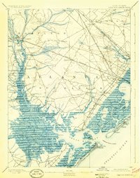
1890 Great Egg Harbor
Atlantic County, NJ

1890 Mullica
Atlantic County, NJ
1893 Great Egg Harbor
Atlantic County, NJ

1894 Mullica
Atlantic County, NJ
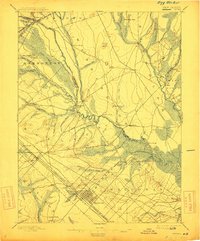
1898 Egg Harbor
Atlantic County, NJ

1918 Great Egg Harbor
Atlantic County, NJ

1919 Mullica
Atlantic County, NJ

1942 Egg Harbor
Atlantic County, NJ
1952 Brigantine Inlet
Atlantic County, NJ
1956 Egg Harbor City
Atlantic County, NJ
1956 Green Bank
Atlantic County, NJ
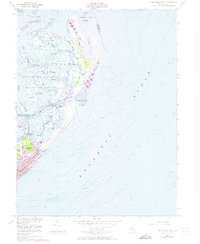
1989 Brigantine Inlet
Atlantic County, NJ
1994 Brigantine Inlet
Atlantic County, NJ
1997 Green Bank
Atlantic County, NJ
2023 Brigantine Inlet
Atlantic County, NJ
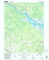
2023 Egg Harbor City
Atlantic County, NJ
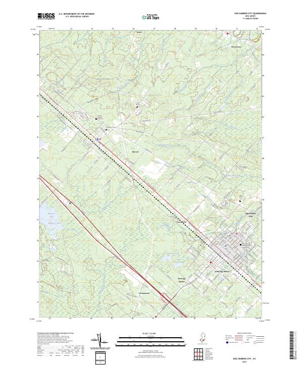
2023 Green Bank
Atlantic County, NJ
Featured Locations
- Atlantic County, NJ
- Ocean County, NJ
- Galloway Township, NJ
- Brigantine, NJ
- Little Egg Harbor Township, NJ