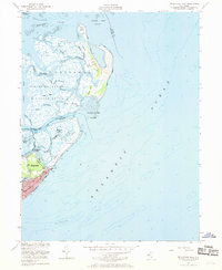
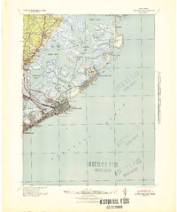
1952 Map of Brigantine Inlet
USGS Topo · Published 1970About this map
The Brigantine National Wildlife Refuge dominates this coastal landscape, protecting a complex network of salt marshes and tidal channels in the early 1950s. The map illustrates a transitional period for the area, where the northern end of Brigantine shows an established street grid and landmarks like Brigantine Beach, while the surrounding islands remain largely undeveloped. Navigational lifeblood is evident through the Intracoastal Waterway and the Brigantine Intracoastal Waterway Alt Route, which thread through Little Mud Thorofare and Great Thorofare.
Find a feature on this map
40 named features on this map. Tap any name to fly to it.
Don’t see what you’re looking for? This feature index may not catch every label — zoom into the map to look around manually.
Map Details
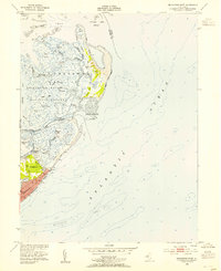
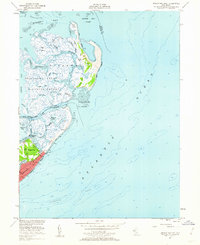
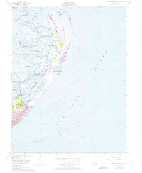
Editions of this 1952 Brigantine Inlet Map
4 editions found
Other maps of this area

1887 · Atlantic City
USGS Topo · 1:62,500

1888 · Little Egg Harbor
USGS Topo · 1:62,500

1888 · Long Beach
USGS Topo · 1:62,500

1893 · Little Egg Harbor
USGS Topo · 1:62,500

1893 · Long Beach
USGS Topo · 1:62,500

1894 · Atlantic City
USGS Topo · 1:62,500

1919 · Long Beach
USGS Topo · 1:62,500

1920 · Little Egg Harbor
USGS Topo · 1:62,500

1940 · Atlantic City
USGS Topo · 1:62,500
1941 · Atlantic City
USGS Topo · 1:62,500
Featured Places
- Galloway Township, NJ
- Little Egg Harbor Township, NJ
- Brigantine, NJ
- Ocean County, NJ
- Atlantic County, NJ