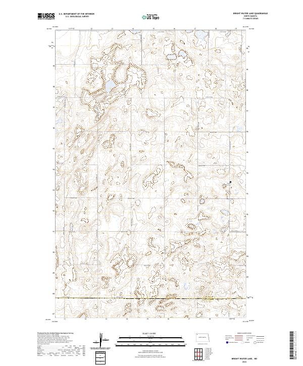
2024 Map of Bright Water Lake
USGS Topo · Published 2024About this map
Divide County Waterfowl Production Area dominates this northern landscape, showcasing the intricate network of wetlands and prairie potholes characteristic of the region. This 2024 survey documents a territory defined by its conservation areas and precise section-line road grid, including Co Rd 11 and 130th Ave NW. The area's cultural history is quietly marked by the Skabo Lutheran Cem, a singular landmark for genealogists and local historians situated in the eastern portion of the quadrangle. The southern edge of the map follows the Divide Co Williams Co boundary, illustrating the transition between these two counties. This modern topographic study reveals a terrain of subtle elevation changes and numerous small water bodies, highlighting the persistent importance of water management and wildlife habitat in this part of North Dakota.
Find a feature on this map
28 named features on this map. Tap any name to fly to it.
Don’t see what you’re looking for? This feature index may not catch every label — zoom into the map to look around manually.
Map Details
Editions of this 2024 Bright Water Lake Map
This is the sole edition of this map. No revisions or reprints were ever made.
Other maps of this area

1948 · Smoky Butte
USGS Topo · 1:24,000

1948 · Alamo N.E.
USGS Topo · 1:24,000

1948 · Crosby SW
USGS Topo · 1:24,000

1948 · Bright Water Lake
USGS Topo · 1:24,000

1948 · Crosby SE
USGS Topo · 1:24,000

1950 · Crosby
USGS Topo · 1:62,500

1953 · Williston
USGS Topo · 1:250,000

1957 · Williston
USGS Topo · 1:250,000

1977 · Appam
USGS Topo · 1:24,000

1977 · Alamo
USGS Topo · 1:24,000