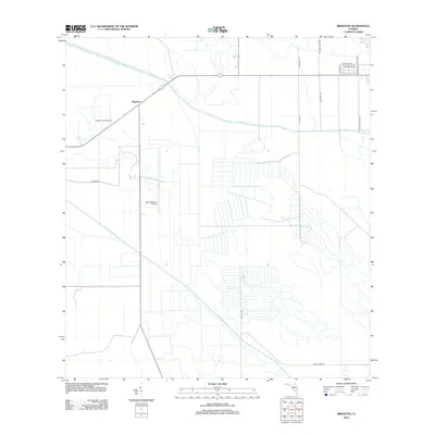
2012 Map of Brighton
USGS Topo · Published 2012About this map
The settlement of Brighton centers this portion of Highlands County, where the landscape is defined by the rigid geometry of Florida's agricultural and water management infrastructure. The region is heavily bisected by major drainage projects, notably the C-41A Canal and the Indian Prairie Canal, which facilitate the irrigation of the surrounding flatlands. This 2012 survey illustrates a terrain of organized citrus groves and cattle pastures, supported by a network of rural roads like Peeples Rd and Buster Twin Rd.
Find a feature on this map
18 named features on this map. Tap any name to fly to it.
Don’t see what you’re looking for? This feature index may not catch every label — zoom into the map to look around manually.
Map Details
Editions of this 2012 Brighton Map
This is the sole edition of this map. No revisions or reprints were ever made.
Other maps of this area

1952 · Okeechobee NW
USGS Topo · 1:24,000

1953 · Brighton NW
USGS Topo · 1:24,000

1953 · Brighton SW
USGS Topo · 1:24,000

1953 · Fort Basinger
USGS Topo · 1:24,000

1953 · Brighton
USGS Topo · 1:24,000

1953 · Brighton SE
USGS Topo · 1:24,000

1953 · Okeechobee SW
USGS Topo · 1:24,000

1953 · Basinger SW
USGS Topo · 1:24,000

1953 · Taylor Creek SW
USGS Topo · 1:24,000

1956 · Fort Pierce
USGS Topo · 1:250,000