
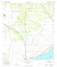
1953 Map of Brighton SE
USGS Topo · Published 1954About this map
The Brighton Seminole Indian Reservation dominates this 1950s landscape, illustrating a period of significant water management and community development in Glades County. The land is marked by an extensive network of infrastructure, including the Indian Prairie Canal and the Harney Pond Canal, which reflect efforts to drain and control the Florida interior near the northern shores of Lake Okeechobee. For genealogists and local historians, the presence of the Brighton Indian Day Sch, an Indian Ch, and an Indian Cem provides concrete locations for community life during the mid-century. Along the shoreline, Bear Beach and the Sarasota Colony stand near the Boat Canal, while numerous Windmill sites and several instances of a Flowing Well indicate the reliance on groundwater for the cattle and agricultural operations of the era.
Find a feature on this map
16 named features on this map. Tap any name to fly to it.
Don’t see what you’re looking for? This feature index may not catch every label — zoom into the map to look around manually.
Map Details
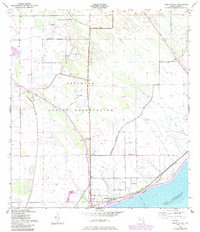
Editions of this 1953 Brighton SE Map
3 editions found
Other maps of this area

1952 · Okeechobee NW
USGS Topo · 1:24,000

1953 · Brighton NW
USGS Topo · 1:24,000

1953 · Brighton SW
USGS Topo · 1:24,000

1953 · Brighton
USGS Topo · 1:24,000

1953 · Okeechobee SW
USGS Topo · 1:24,000

1956 · West Palm Beach
USGS Topo · 1:250,000

1956 · Fort Pierce
USGS Topo · 1:250,000

1957 · West Palm Beach
USGS Topo · 1:250,000

1958 · Fort Pierce
USGS Topo · 1:250,000

1958 · West Palm Beach
USGS Topo · 1:250,000