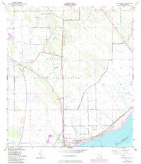
1953 Map of Brighton SE
USGS Topo · Published 1984About this map
The Brighton Indian Reservation dominates this landscape in Glades County, showcasing a community structured around vital water management systems and educational landmarks. In the early 1950s, the Brighton Indian Day Sch and the Indian Cem served as central points for local life, while the Reservation Boundary clearly delineated this sovereign space. The map reveals an intricate network of drainage and transport including the Harney Pond Canal and Indian Prairie Canal, which were essential for managing the low-lying terrain near Lake Okeechobee. To the south, settlements like Sarasota Colony and Jones Corner appear alongside Big Bear Beach, illustrating the intersection of residential life and the massive engineering works like the Spoil Bank that altered the natural hydrology of the Everglades edge.
Find a feature on this map
13 named features on this map. Tap any name to fly to it.
Don’t see what you’re looking for? This feature index may not catch every label — zoom into the map to look around manually.
Map Details
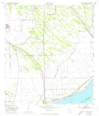
Editions of this 1953 Brighton SE Map
3 editions found
Other maps of this area

1952 · Okeechobee NW
USGS Topo · 1:24,000

1953 · Brighton NW
USGS Topo · 1:24,000

1953 · Brighton SW
USGS Topo · 1:24,000

1953 · Brighton
USGS Topo · 1:24,000

1953 · Brighton SE
USGS Topo · 1:24,000

1953 · Okeechobee SW
USGS Topo · 1:24,000

1956 · West Palm Beach
USGS Topo · 1:250,000

1956 · Fort Pierce
USGS Topo · 1:250,000

1957 · West Palm Beach
USGS Topo · 1:250,000

1958 · Fort Pierce
USGS Topo · 1:250,000