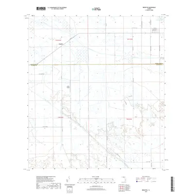
2018 Map of Brighton
USGS Topo · Published 2018About this map
Brighton and the surrounding rangelands along the Highlands and Glades County line define this South Florida landscape. The area's character is shaped by an extensive network of water management features, including the Canal C-41a and the Indian Prairie Canal, which channel water across the flat terrain. Aviation interests are represented by the Lykes Brighton Airport, while the remote nature of the region is underscored by long, straight roadways such as Bullhead Grade and Co Rd 721. Towards the northeast, the vegetation shifts slightly at Long Cypress Slash. This map traces several Bureau of Indian Affairs routes, including BIA Hwy 1289 and BIA Hwy 1306, which provide essential connectivity through these inland prairies and wetlands.
Find a feature on this map
26 named features on this map. Tap any name to fly to it.
Don’t see what you’re looking for? This feature index may not catch every label — zoom into the map to look around manually.
Map Details
Editions of this 2018 Brighton Map
This is the sole edition of this map. No revisions or reprints were ever made.
Other maps of this area

1952 · Okeechobee NW
USGS Topo · 1:24,000

1953 · Brighton NW
USGS Topo · 1:24,000

1953 · Brighton SW
USGS Topo · 1:24,000

1953 · Fort Basinger
USGS Topo · 1:24,000

1953 · Brighton
USGS Topo · 1:24,000

1953 · Brighton SE
USGS Topo · 1:24,000

1953 · Okeechobee SW
USGS Topo · 1:24,000

1953 · Basinger SW
USGS Topo · 1:24,000

1953 · Taylor Creek SW
USGS Topo · 1:24,000

1956 · Fort Pierce
USGS Topo · 1:250,000