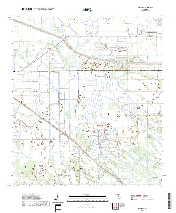
2024 Map of Brighton
USGS Topo · Published 2024About this map
The settlement of Brighton sits at the intersection of water management and rural transit, marked by the extensive lattice of the Canal C-41A and the Indian Prairie Canal. This interior Florida landscape spans the boundary of Highlands and Glades Counties, where the terrain is defined by low-lying wetlands like the Long Cypress Slash. The area is notably shaped by aviation and local transit history, featuring the Lykes Brighton Airport and a network of named tracks such as Bullhead Grade and Mose Grade Rd. Traditional land naming conventions are preserved through routes like Billy Bowlegs Rd and Buster Twin Rd, reflecting the heritage of the Brighton Seminole Indian Reservation lands. The township and range lines of t37s r32e and t38s r33e provide a framework for the agricultural and drainage infrastructure that dominates the region.
Find a feature on this map
27 named features on this map. Tap any name to fly to it.
Don’t see what you’re looking for? This feature index may not catch every label — zoom into the map to look around manually.
Map Details
Editions of this 2024 Brighton Map
This is the sole edition of this map. No revisions or reprints were ever made.
Other maps of this area

1952 · Okeechobee NW
USGS Topo · 1:24,000

1953 · Brighton NW
USGS Topo · 1:24,000

1953 · Brighton SW
USGS Topo · 1:24,000

1953 · Fort Basinger
USGS Topo · 1:24,000

1953 · Brighton
USGS Topo · 1:24,000

1953 · Brighton SE
USGS Topo · 1:24,000

1953 · Okeechobee SW
USGS Topo · 1:24,000

1953 · Basinger SW
USGS Topo · 1:24,000

1953 · Taylor Creek SW
USGS Topo · 1:24,000

1956 · Fort Pierce
USGS Topo · 1:250,000