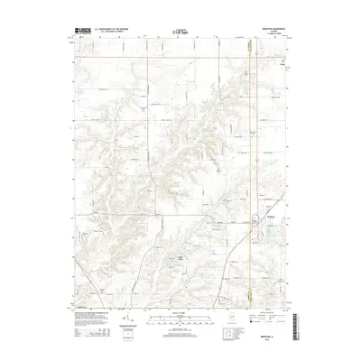
2015 Map of Brighton
USGS Topo · Published 2015About this map
The border of Jersey and Macoupin counties defines this landscape of small agricultural settlements and recreational water bodies during the mid-2010s. The village of Brighton serves as a primary hub, while the smaller community of Piasa is situated further north along the county line. The region is notable for its high density of small burial grounds, including Saint Alphonsus, Asbury, and Trible, which offer significant value for genealogical research.
Find a feature on this map
95 named features on this map. Tap any name to fly to it.
Don’t see what you’re looking for? This feature index may not catch every label — zoom into the map to look around manually.
Map Details
Editions of this 2015 Brighton Map
This is the sole edition of this map. No revisions or reprints were ever made.
Other maps of this area

1925 · Brighton
USGS Topo · 1:62,500

1927 · Alton
USGS Topo · 1:62,500

1927 · St. Charles
USGS Topo · 1:62,500

1928 · Brighton
USGS Topo · 1:62,500

1930 · Jerseyville
USGS Topo · 1:62,500

1933 · Jerseyville
USGS Topo · 1:62,500

1933 · Saint Charles
USGS Topo · 1:62,500

1934 · Alton
USGS Topo · 1:62,500

1948 · Quincy
USGS Topo · 1:250,000
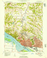
1948 · Alton
USGS Topo · 1:24,000