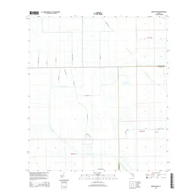
2015 Map of Brighton NW
USGS Topo · Published 2015About this map
Harney Pond Canal and the Indian Prairie Canal define this interior section of the Florida Everglades, where an extensive network of drainage channels transformed the landscape for agricultural use. The terrain is notably flat, punctuated by the slightly elevated ground of Cabbage Island in the south. This area sits along the border of Highlands and Glades counties, featuring a strictly organized grid of access roads such as Lonesome Island Rd and Buck Island Ranch Rd. The geometry of these roads and canals reveals a landscape engineered for ranching and citrus production, typical of South Florida's mid-20th-century development. Landowners and researchers can trace local landmarks like Marcia Grove Rd and Jc Durrance Rd, which reflect the families and operations that managed these large rural tracts.
Find a feature on this map
21 named features on this map. Tap any name to fly to it.
Don’t see what you’re looking for? This feature index may not catch every label — zoom into the map to look around manually.
Map Details
Editions of this 2015 Brighton NW Map
This is the sole edition of this map. No revisions or reprints were ever made.
Other maps of this area

1952 · Lake Placid
USGS Topo · 1:24,000

1953 · Brighton NW
USGS Topo · 1:24,000

1953 · Brighton SW
USGS Topo · 1:24,000

1953 · Fort Basinger
USGS Topo · 1:24,000

1953 · Brighton
USGS Topo · 1:24,000

1953 · Brighton SE
USGS Topo · 1:24,000

1953 · Basinger SW
USGS Topo · 1:24,000

1953 · Childs
USGS Topo · 1:24,000

1956 · Fort Pierce
USGS Topo · 1:250,000

1957 · Venus
USGS Topo · 1:24,000