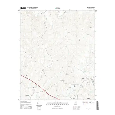
2014 Map of Brilliant
USGS Topo · Published 2014About this map
Pearces Mills sits at the northern edge of this Marion County landscape, where the Buttahatchee River winds through the terrain near Bee Mtn. The area is defined by a series of small, dispersed settlements including Pull Tight, Yampertown, and Pea Ridge, connected by a network of county roads and state routes like Al-253. The southern portion of the map shows the transition into more established towns at Brilliant and the outskirts of Winfield, where the topography levels out around Brilliant Lake and Clifty Cr.
Find a feature on this map
66 named features on this map. Tap any name to fly to it.
Don’t see what you’re looking for? This feature index may not catch every label — zoom into the map to look around manually.
Map Details
Editions of this 2014 Brilliant Map
This is the sole edition of this map. No revisions or reprints were ever made.
Other maps of this area

1936 · South Of Hackleburg
USGS Topo · 1:24,000

1936 · Goddard
USGS Topo · 1:24,000

1953 · Birmingham
USGS Topo · 1:250,000

1956 · Birmingham
USGS Topo · 1:250,000

1956 · Gadsden
USGS Topo · 1:250,000

1957 · Birmingham
USGS Topo · 1:250,000

1958 · Gadsden
USGS Topo · 1:250,000
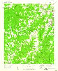
1958 · Haleyville West
USGS Topo · 1:24,000

1958 · Gold Mine
USGS Topo · 1:24,000

1960 · Gadsden
USGS Topo · 1:250,000